


 70-71 / 160

71
The R.S.J.Clarke Collection of Cartography
15
th
December 2015
139
John Seller
A Chart of the South-west Coast of Ireland with Kinsale
From the English Pilot Southern Navigation. Published by Mount & Page. This plate from
the 1738 edition. 530 x 440
€ 200 - 300
141
John Seller
A Chart of the South-west Coast of Ireland with Kinsale
From the English Pilot Southern Navigation. Published by Mount & Page. This plate from
the 1738 edition. This is the third state, 1776, with heavier shading on the coast. 530 x 440
€ 200 - 300
140
John Seller
A Chart of the South-west Coast of Ireland with Kinsale
From the English Pilot Southern Navigation. Published by Mount & Page. This plate from
the 1738 edition. 530 x 440
€ 200 - 300
135
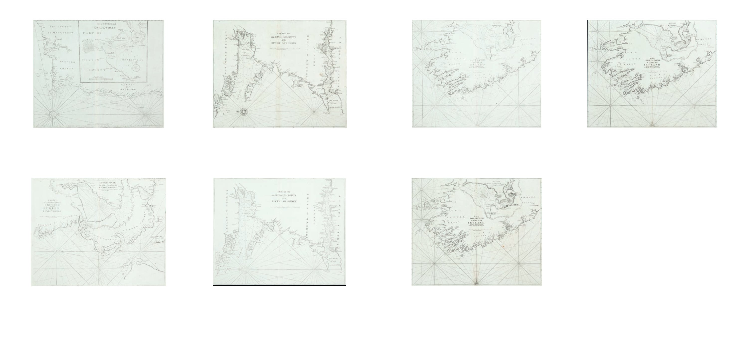
John Seller
Chart of the South-East Coast of Ireland
This is the second in the Grierson edition of Irish charts from The English Pilot, Southern
Navigation, published in Dublin in 1730. The large inset which is a feature of this chart, is
based on Greenvile Collins’ Chart of Dublin Bay, published in 1693. . 535 x 440 mm.
€ 200 - 300
137
John Seller
A Chart of Galloway (sic) and the River Shannon
Mount & Page edition. From the English Pilot. 530 x 445
€ 150 - 250
138
John Seller
A Chart of Galloway (sic) and the River Shannon
Mount & Page edition. From the English Pilot. 530 x 445
€ 150 - 250
136
John Seller
A Chart of the North-east coast of Ireland
From the English Pilot, Southern Navigation. Mount & Page edition. This chart first seen in
1690. (Dublin to Londonderry).
And a Chart of the North-west (2)
€ 300 - 400