


 80-81 / 160

81
The R.S.J.Clarke Collection of Cartography
15
th
December 2015
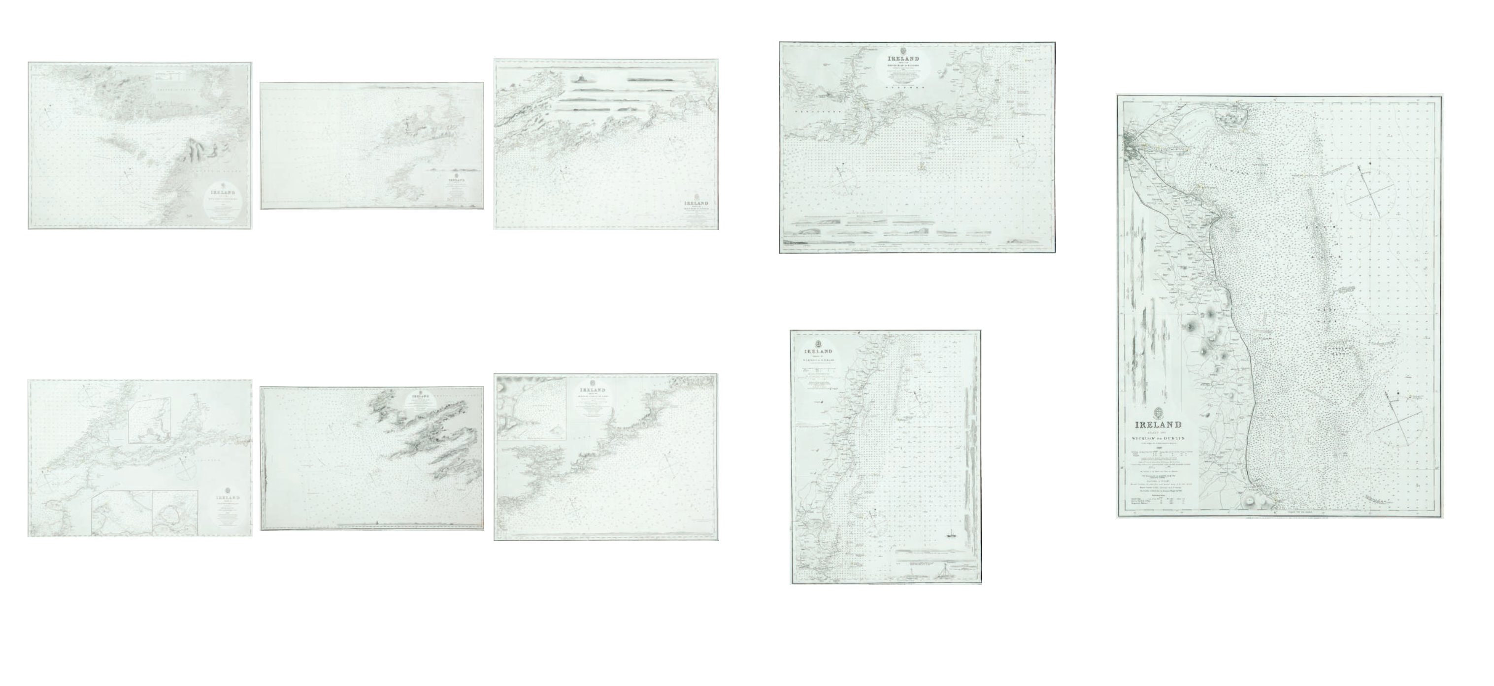
183
Sheet XIV,
Brattin Head to Wexford
Surveyed by Commr. Frazer, 1847. Published in 1851 with corrections to July
1872. Chart No. 2049. 630 x 485.
€ 150 - 200
184
Sheet XV,
Wexford to Wicklow
Surveyed by Commr. Frazer, 1844
Published in 1847 with small corrections to July 1872. Chart
No. 1787. 470 x 630.
€ 150 - 200
185
Sheet XVI,
Wicklow to Dublin
Surveyed by Commr. Frazer, 1839. Published in 1845 with small corrections to JUly 1872. 470
x 630.
€ 150 - 200
177
Sheet VI,
Achill Head to Slynne Head
Surveyed by Commr R.B. Beechey. Published 1854 with small
corrections to August 1872. Chart No. 2420. 480 x 640.
€ 100 - 150
178
Sheet IX,
Tralee Bay to Liscannor Bay inculding the River
Shannon
Surveyed by Commr Wolfe and Commr R.B. Beechey. Pub-
lished 1850 with
corrections to April 1868. Chart No. 2254. 480 x 640.
179
Sheet X,
Kerry Head to Ballinskellig Bay
Surveyed by Commr R.B. Beechey and others. Published
1858 with corrections to July 1872. Chart No. 2679. 980 x
560.
180
Sheet XI,
Valentia to Cape Clear
Surveyed by Commr Wolf and Lieut. Church. 1849-53 with
corrections to March 1870. Chart No. 2424. 970 x 560.
€ 0 - 0
181
Sheet XII,
Mizen Head to Kinsale
Surveyed by Commr Wolfe and Lieut. Church, 1849, sound-
ings added in 1860. Published in 1850 with corrections to July
1872. Chart No. 1996. 630 x 480.
€ 100 - 200
182
Sheet XIII,
Kinsale to Brattin Head
Surveyed by Capt. Frazer, Commr Wolfe and Lieut. Church,
1847-51. Published in 1856 with small corrections to July
1872. Chart No. 2336. 630 x 485.
€ 150 - 200