


 142-143 / 160

143
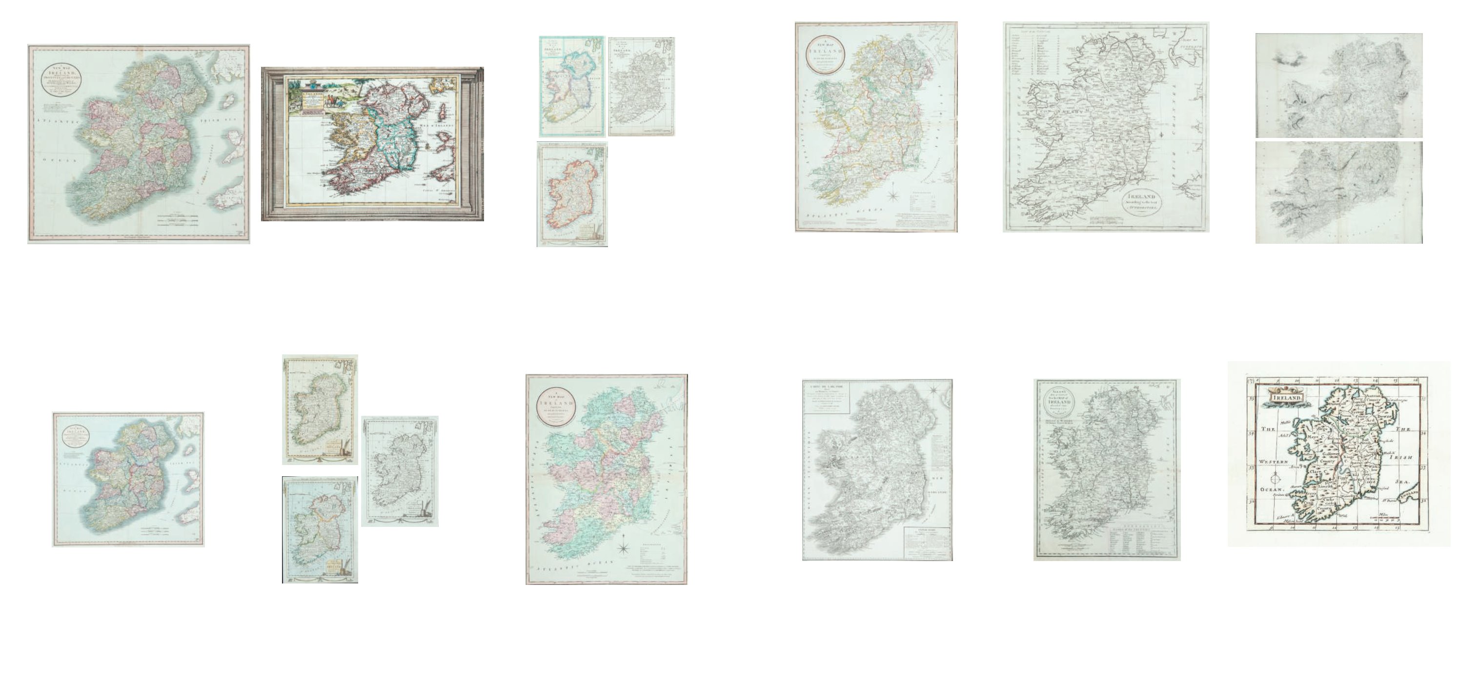
424
Joseph Enouy
A New Map of Ireland.
From A New and Elegant Atlas published by Laurie & Whittle
1808. With the addition of “a new edition considerably
improved” within the title and extra lines added to the de-
scriptions at the bottom. 505 x 250. Abl 186(iii).
€ 100 - 200
425
Alexander Taylor
Carte de l’Irlande.
Issued separately [1805]. 594 x 715. Abl 198.
€ 100 - 200
426
William Guthrie
Ireland according to
From Chambers’ edition of his New System of Geography
originally published in 1785. 310 x 355.
Irish Ports and Harbours by Fullarton An unrecorded late
state of a map of Ireland by Cooper. Abl 201. A Small Map of
Ireland by Gibson. Abl 89(i). A Map of Ireland from Chamber’s
edition of Guthrie’s geography. Abl SG-20.
A View of Belfast taken from the Graphic (1886)
(5)
€ 80 - 100
427
William Allen
Allen’s New and Correct Pocket
Map ...
Engraved by John Taylor, Donnybrook. (1815). For the Travel-
ler’s New Guide Through Ireland. Published Dublin, 1818.
275 x 205. Abl 212(ii)
€ 90 - 120
428
Arrowsmith
Ireland.
In two sections, North and South, each two sheets which
when joined together produce a large map of Ireland in four
sheets. 1811. A separate publication. Abl 221(i). (2) 207 x
257
€ 600 - 800
429
Wilkes, J./
Hall, Sidney
Ireland
From the Encyclopaedia Londinensis [1811]. Issued in parts, [1810-
1827]. 191 x 236. Abl 227.
Hall, Sidney
“Ireland” From Butler’s Atlas of Modern Geography
[1829]. 188 x 242. Abl 277(vi).
Findlay, Alex
“Ireland” From possibly A Modern Atlas, published by
Tegg [1845]. 219 x 269. Abl 381(i). (3)
€ 0 - 0
418
John Cary
A New Map of Ireland Divided ...
From Cary’s New Universal Atlas, 1819. 521 x 460. Abl
174(iii).
€ 100 - 150
419
John Cary
A New Map of Ireland
From Cary’s New Universal Atlas. 1824. Sold as a seperate
map. Abl 174(iv).
€ 100 - 150
420
Pieter van der Aa
A set of Six Maps
Ireland, Northern Ireland, Ulster, Munster, Leinster, Con-
naught
From La Galerie Agreable du Monde. Published in Leiden
(1713). Varying sizes. Abl 178/179.
€ 100-150
421
Thomas Bowen
Three Maps of Ireland
210 x 305. Two copies. Abl 183(i) and Abl 183(ii). (3)
€ 60 - 80
422
Thomas Bowen
Three Maps of Ireland
210 x 305. Abl 186(i)(iii) and Abl 183(iii). (3)
€ 80 - 120
423
Joseph Enouy
A New Map of Ireland...
from A New and Elegant Atlas published by Laurie & Whittle.
1802. 505 x 250. Abl 186(i).
€ 100 - 200