


 140-141 / 160

141
412
Alexander Taylor
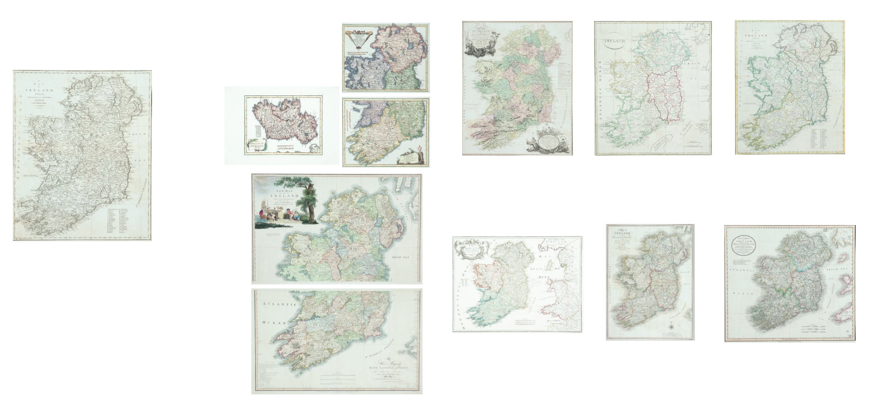
A New Map of Ireland
Issued separately. 1793. 594 x 715cm. Abl 150(i).
€ 150 - 250
413
Franz Joseph von Reilly
A Map of Ireland
Karte von Ireland. From Grosser Deutscher Atlas [1796]. 635
x 480. Abl 160.
€ 100 - 150
414
Clement Crutwell (1743-1808)
Ireland
From the Atlas to Crutwell’s Gazatteer 1808. 336 x 387.
Abl 163 (iii).
€ 60 - 120
415
William Faden (1750-1836)
A Map of Ireland
From [A General Atlas ...]. 1798. 537 x 701. Abl 166(i).
€ 100 - 200
416
John Cary
A New Map of Ireland Divided ...
From Goghs edition of Camdens Britannia, 1799. 521 x 460.
Abl 140(ii).
€ 100 - 150
417
John Cary
A New Map of Ireland Divided ...
From Cary’s New Universal Atlas, 1811. 521 x 460. Abl 174(ii).
€ 100 - 150
408
John Cary
A Map of Ireland Divided ...
From Gough’s edition of Camden’s Britannia, 1789. 418 x
510. Abl 140(i).
€ 100 - 200
409
John Cary
A New Map of Ireland Divided ...
From the Gough’s edition of Camden’s Britannia, 1789. 418 x
510. Abl 140(i).
€ 100 - 150
410
Franz Joseph von Reilly (1766-1820)
A Map of Ireland and a Map of Ireland North
and South
Chauplatez der ... . Published Vienna, 1789. 210 x 280 (2) and
275 x 215. Abl 142. (3)
€ 100 - 150
411
The Rev. D. Beaufort
A New Map of Ireland
In two sheets. Second edition. Normally issued and sold as a
separate map. 878 x 554 and 878 x 528. Abl 146(iii). (2)
€ 600 - 1,000