


 148-149 / 160

149
www.adams.ieThe R.S.J.Clarke Collection of Cartography
15
th
December 2015
461
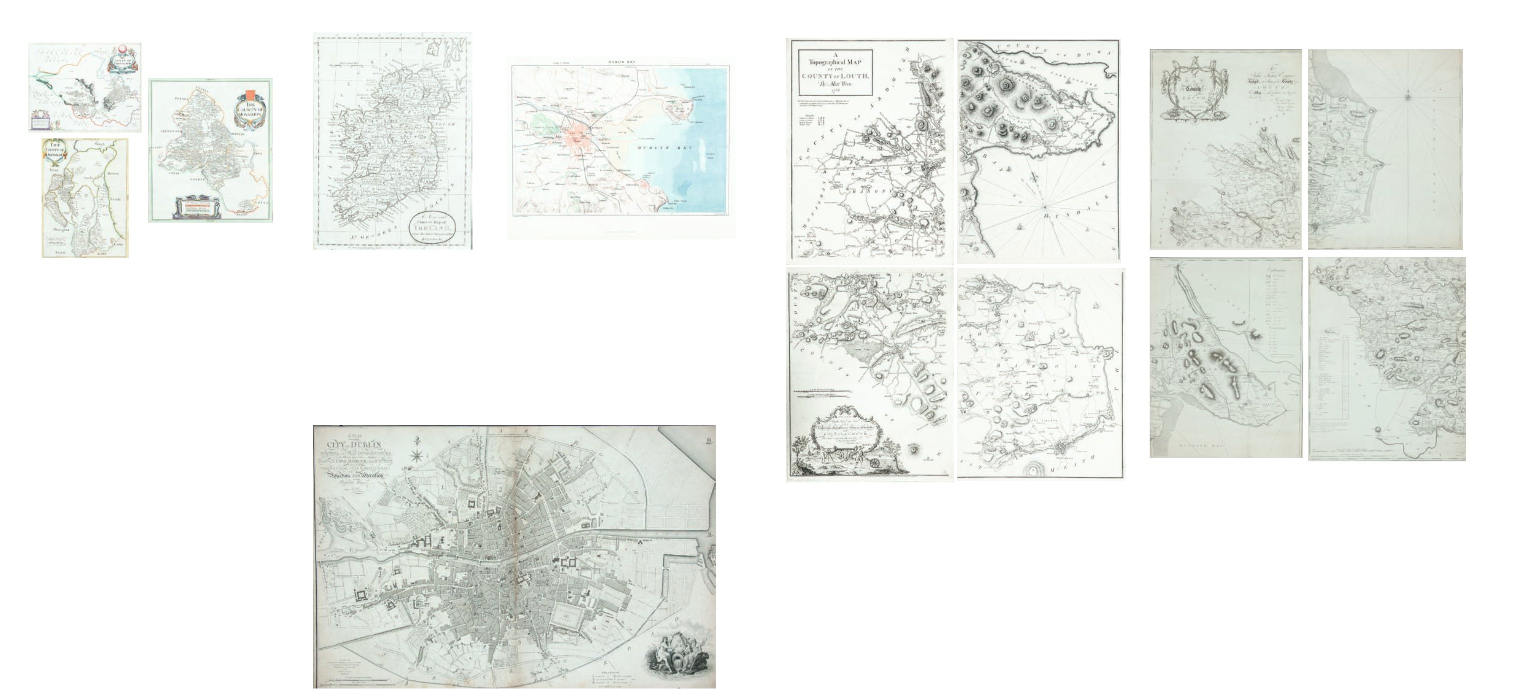
Matthew Wren (fl.1761-68)
A Map of the County of Louth
In four sheets. 430 x 595.
€ 1,800 - 2,200
462
George Taylor and Andrew Skinner
A Map of the County of Louth in Four
Parts
From The Grand Jury Map of the County. Engraved by Garrett
& Terry, London in 1777. 520 x 675 each.
€ 0 - 0
456
Sir William Petty
Maps of Armagh, Fermanagh and
Monaghan
From the Grierson edition of Hiberniæ Delieneatio [1731/2].
Abl A2. (3)
457
William Faden (1749-1836)
A Plan of the City of Dublin
From Malton’s Picturesque Views of Dublin. First edition,
This map is normally found in early editions of malton’s book
1797. Abl G 31.
€ 500 - 800
458
Anon.
“A New and Accurate Map of the Kingdom ...”
From
The Universal Magazine [1799].
275 x 315. Abl SG 48.
“Ireland”
From the later editions of
Salmon’s A New Geographical and
Historical Grammar
[1862-72]
Abl SG 1(ii)
“A New and Correct Map of ...”
Engraved by Paas in
Russell’s New Historical and Commercial
History of Geography 1800-1815
. Abl SG 51.
€ 50 - 90
459
Dower, John
“Dublin”
A Pair of Maps of Dublin, published by Orr & Smith, 1835.
160 x 210.
Abl G 63.
“Dublin Bay”, published by Virtue & Co. [1900]. 291 x 303. (3)
€ 40 - 60