


 144-145 / 160

145
436
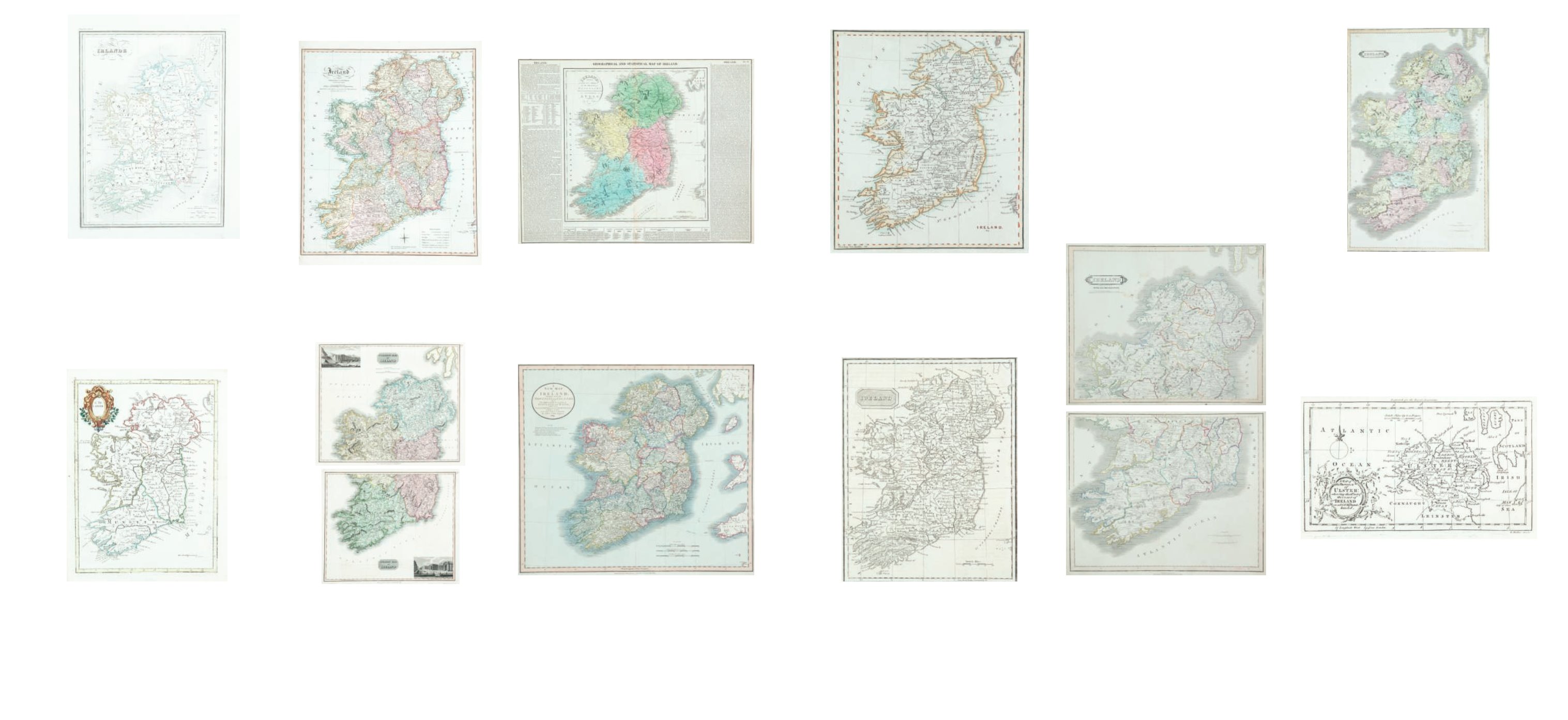
Sheffield Grace,
Ireland
By Sheffield Grace, 1825. 185 x 215. Abl 290.
€ 20 - 50
437
Three Maps of Ireland
By
Thomas Kelly
[1817], Abl SG13.
John Bowen
[1830], Abl
303(i) and another engraved by
Neele
. Published Liverpool
[1814]. (3)
€ 30 - 50
438
Emslie, John
Geological Map of Ireland.
Published by Reynolds, 1860. 220 x 280.
Starling, Thomas
Ireland. From “The Royal Cabinet Atlas”. Published by Bull,
London, 1834. 89 x 143. Abl 311(ii).
Cary, John
A New Map of Ireland. Published by MacGowen & Davis,
1781. 183 x 223. Abl 125(i).
A New Map of Ireland from The Field of Mars. Published
London, 1801. 183 x 223. Abl 125(ii). (4)
€ 80 - 100
439
William Home Lizars (1788-1859)
Ireland
From The Edinburgh Geographical and Historical Atlas n.d.
In two sheets, North and South. [1841]. 525 x 825 each. Abl
314(iii). (2)
€ 80 - 120
440
William Home Lizars (1788-1859)
Ireland
From The Edinburgh Geographical and Historical Atlas n.d. In
two sheets, North and South. 525 x 825. Abl 314(i).
€ 80 - 120
441
Teesdale, Henry
Ireland
(with the railway added)
From Teesdale’s
A New Grand Atlas of the World
[1848]. 336 x 417.
Abl 317(v).
Maps of the Counties of Mayo, Sligo
etc. From The Military
Magazine, published [October 1788]. 311 x 263.
“A Map of the Province of Ulster”
Engraved by Rolles for The Royal Magazine. 175 x 100. (3)
€ 100 - 130
430
Giraldon
Irlande
From his Atlas Compet du Precis ... . Published in Paris in 1812.
Abl 228.
Conrad Malte-Brun
From his Atlas Compet du Precis ... . Published in Brussels
in 1839. Abl 315(ii); together with a later state of the above
(184). Abl 315(iii); and another Irlande with a vignette of Dublin.
Varying sizes. (4)
€ 80 - 120
431
Neele, Samuel & George
Ireland
in two sheets, North & South
From Neele’s General Atlas [1813]. 281 x 223. Abl 239(i).
Anon.
“A New Map of Ireland from ...” Engraved by Prinald for A New
Geographical Directory [1760]. 190 x 279. Abl 92(i).
Le Rouge, Georges Louis
“L’Irlande”
From Atlas Noveau Portalit [1748]. Four sheets. 206 x 285.
Abl 80.
€ 100 - 120
432
Robert Wilkinson (1785-1825)
Ireland
Published in his General Atlas of the World. London, 1794.
505 x 605. Abl 246(ii).
€ 100 - 150
433
John Hewitt Thompson (1813-1869)
A Map of Ireland in two parts, North and South
502 x 593. Abl 249. (2)
€ 100 - 150
434
Jehoshaphat Aspin
Ireland Drawn from the Best
Authorities.
From A Complete Genealogical, Historical, Chronological and
Geographical Atlas. Published in Philadelphia in 1820. 327 x
352. Abl 266(i).
€ 100 - 150
435
John Cary
A New of Map of Ireland ...
From Cary’s New Universal Atlas, 1824. Issued seperately
763 x 620. Abl174(iv).
€ 100 - 150