


 154-155 / 160

155
www.adams.ieThe R.S.J.Clarke Collection of Cartography
15
th
December 2015
481
A Cartographic Curiosity
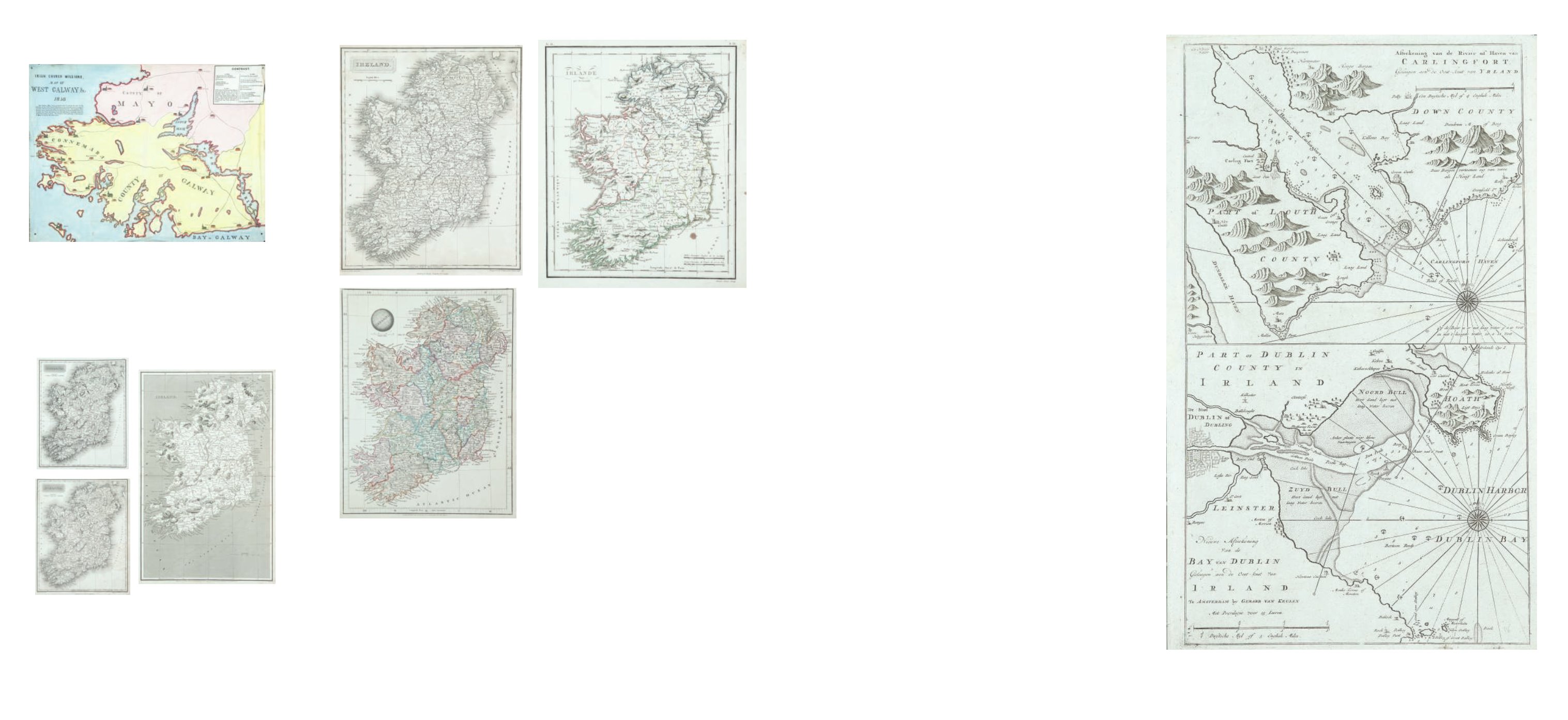
A Map of the Irish Church Missions in West
Galway
1858. Printed in colour on linen; together with A Map of Ire-
land showing the operations of all the Irish Church Missions.
1852. (2)
€ 100 - 150
482
By or after Arrowsmith
A Collection of Maps of Ireland
Variously dated 1802-1817. (4)
€ 50 - 80
483
By or after Arrowsmith
A Collection of Three Maps of Ireland
(3)
€ 60 - 80
484
The British Museum
Catalogue of Printed Maps, Charts and Plans
Photolithographic Edition, complete to 1964, 1967. London, 1967. 16
volumes.
€300 - €500
485
Atlantes Neerlandici
Bibliography of Terrestrial, Maritime and Celestial Atlases
and Pilot Books,
published in the Netherlands up to 1880. Compiled and edited by Sr. Ir. C.
Koeman. Amsterdam, 1976. 5 volumes.
€300 - €500
486
National Maritime Museum
Catalogue of the Library
Volume three, parts 1 & 2. London, HMSO, 1971. 2 volumes.
€300 - €500
487
Maps and Plans in the Public Record Office
British Isles, c.1419-1860
London, HMSO. 1967. 1 volume.
€300 - €500