


 132-133 / 160

133
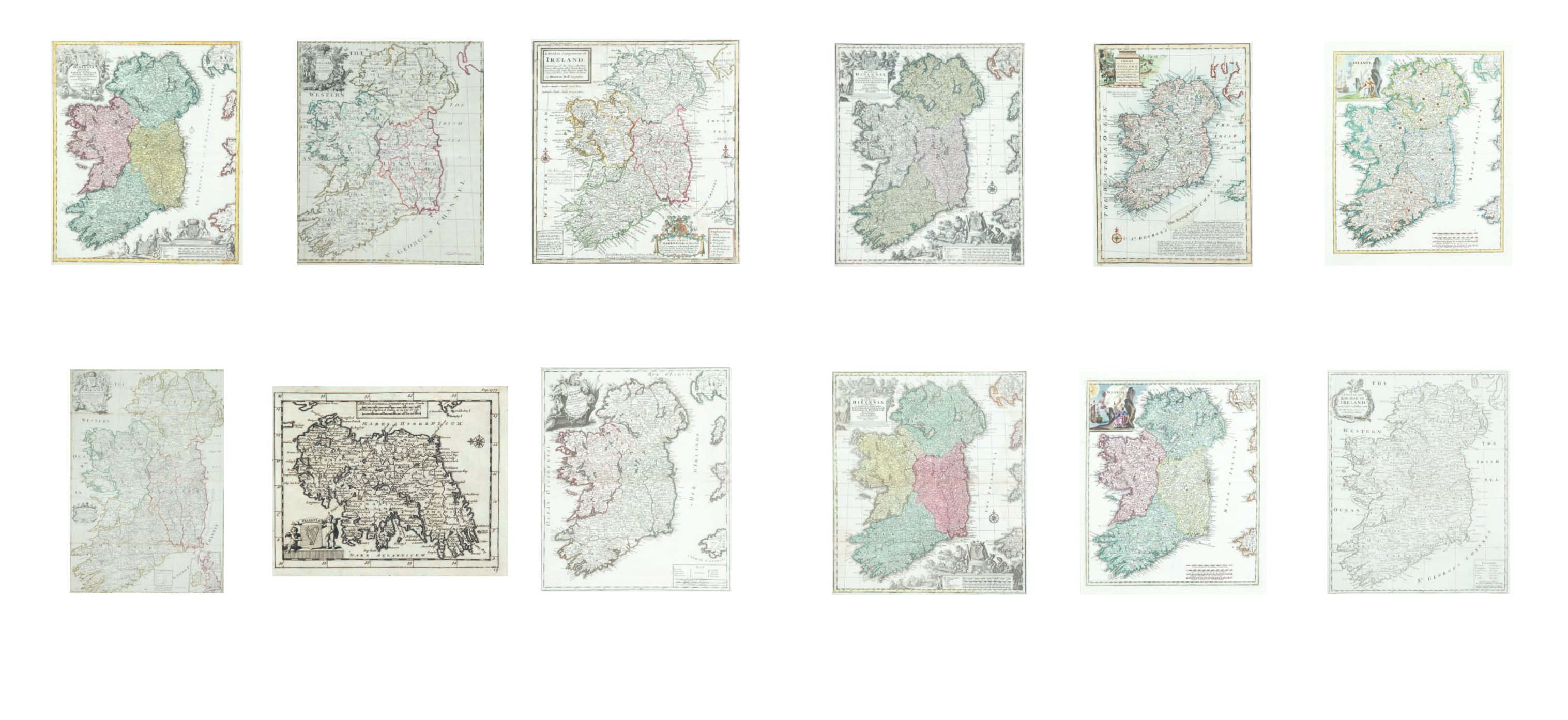
366
Matthaus Seutter (1678-1757)
Regnum Hiberniæ
Regnum Hiberniæ. From his Atlas Novus [1742]; together
with a title page of the atlas. Seutter was granted the privi-
ledge in 1741. 493 x 577. Abl 72(ii). (2)
€ 400 - 600
367
Tobias Conrad Lotter (1712-1797)
A Map of Ireland
Regnum Hiberniæ. Lotter’s reissue of Seutter’s map. 493 x
577. Abl 72(iii).
€ 400 - 600
368
Emanuel Bowen (1694–1767
A new and accurate Map of Ireland
(c1740) 225 x 325. Abl 74(iii).
€ 120 - 140
369
Guillaume DeLisle (1675-1726)
Irlanda
From Vol. XII of Storia Moderna ... by Abrizzi, Venice (1743).
Abl 75(i).
€ 100 - 140
370
Guillaume DeLisle (1675-1726)
tIrlanda
Another state of the above with twelve added fortification
symbols. From Atlas Novissimo (1750). Abl 75(ii).
€ 100 - 140
371
Richard William Seale (1732-1785)
A Map of the kingdom of Ireland
From Tindal’s continuation of Rapin’s History of England
(1744) 395 x 495; together with plans of the “Sixteen Principle
Towns in Ireland”. 495 x 405. Abl 76. (2)
€ 100 - 150
360
John Baptist Homann (1663-1724)
A Map of Ireland
Hiberniæ Regnum. From his Atlas Novus [1740]. Abl 63(iii).
€ 200 - 300
361 John Senex (fl.1702-1740)
‘A New Map of Ireland ...’.
From A New General Atlas 1721. 670 x 950. Abl 65.
€ 300 - 400
362
John Senex (fl.1702-1740)
A Map of Ireland
From his New General Atlas of the World. 488 x 581. Abl
65(i).
€ 150 - 250
363
Pieter van der Aa
Hibernia
From his Delices de Grande Britagne .... Published in Leiden
(1727). 157 x 123. Abl 66(iii).
€ 60 - 80
364
Herman Moll (1655-1732)
A pocket companion of ye roads of
Ireland
From his Atlas Minor published by Thomas & John Bowles
(1740). 280 x 300. Abl 67(v).
€ 300 - 400
365
George Louis le Rouge (1712 - 1790)
Le Royaume D’Irlande.
From his Atlas Generale published in Paris in 1745-64. 485 x
570. Abl 78(i).
€ 300 - 500