


 152-153 / 160

153
The R.S.J.Clarke Collection of Cartography
15
th
December 2015
475
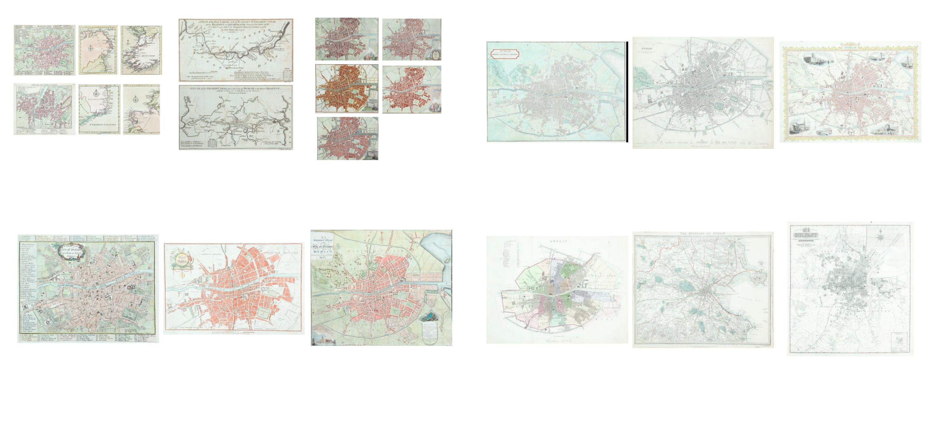
John Kirkwood (d. 1853)
A Plan of Dublin from the General Post Office
Directory
C.1835/40. 400 x 330. Abl D33/88.
€ 80 - 90
476
A Plan of Dublin
from the Parliamentary Report of the Boundary
Commissioner
(1857). 370 x 310. Abl G 67(i).
€ 60 - 80
477
Society of the Diffusion of Useful
Knowledge
A Plan of Dublin
(1836). 405 x 315. Abl G 57(ii).
€ 60 - 70
478
Society of the Diffusion of Useful
Knowledge
A Map of the Environs of Dublin
405 x 335. Abl G 66(i).
€ 60 - 70
479
John Tallis
A Plan of the City of Dublin
(1845). 475 x 360. Abl G 80.
€ 200 - 300
480
Marcus Ward
A Town Plan of Belfast
905 x 975.
€ 60 - 90
469
Andrew Drury (1742-1778)
Plans of Dublin and Cork
From his Collection of Plans of the Principal Cities of Great
Britain and Ireland published in London in c1764. 122 x 110.
Abl 94(a). and Coastal Maps of north-west, north-east, south-
west, south-east
€ 120 - 120
470 John Andrews
A Town Plan of the City of Dublin
From A Collection of the Plans of the Capital Cities of Europe
... by John Andrews (1771).
€ 80 - 120
471
Thomas Bowen
A Plan of the Lagan Canal from Belfast to Lough
Neagh
and a Plan of the Grand Canal from Dublin to the Shannon
Taken from various editions of The Gentleman’s Magazine.
295 x 165 - 315 x 175.
And a Sketch of a Proposed Canal, Lough Neagh to Lough
Erne.
210 x 156. (3)
€ 80 - 120
472
Z. Jackson
A Plan of Dublin
From Paynes’ New System of Universal Geography published
in 1794.
460 x 350. Abl G22(ii).
€ 120 - 150
473
Five Plans of the City of Dublin
From Wilson’s Dublin Directory,
1807, 1810, 1822, 1825 and 1831. 365 x 300.
Abl D43-D46-D58-D61-D69. (5)
€ 300 - 500
474
William Wilson
A Modern Plan of the City and Environs of
Dublin
Published in 1805. 519 x 433. Abl G 32(iii).
€ 200 - 400