


 138-139 / 160

139
402
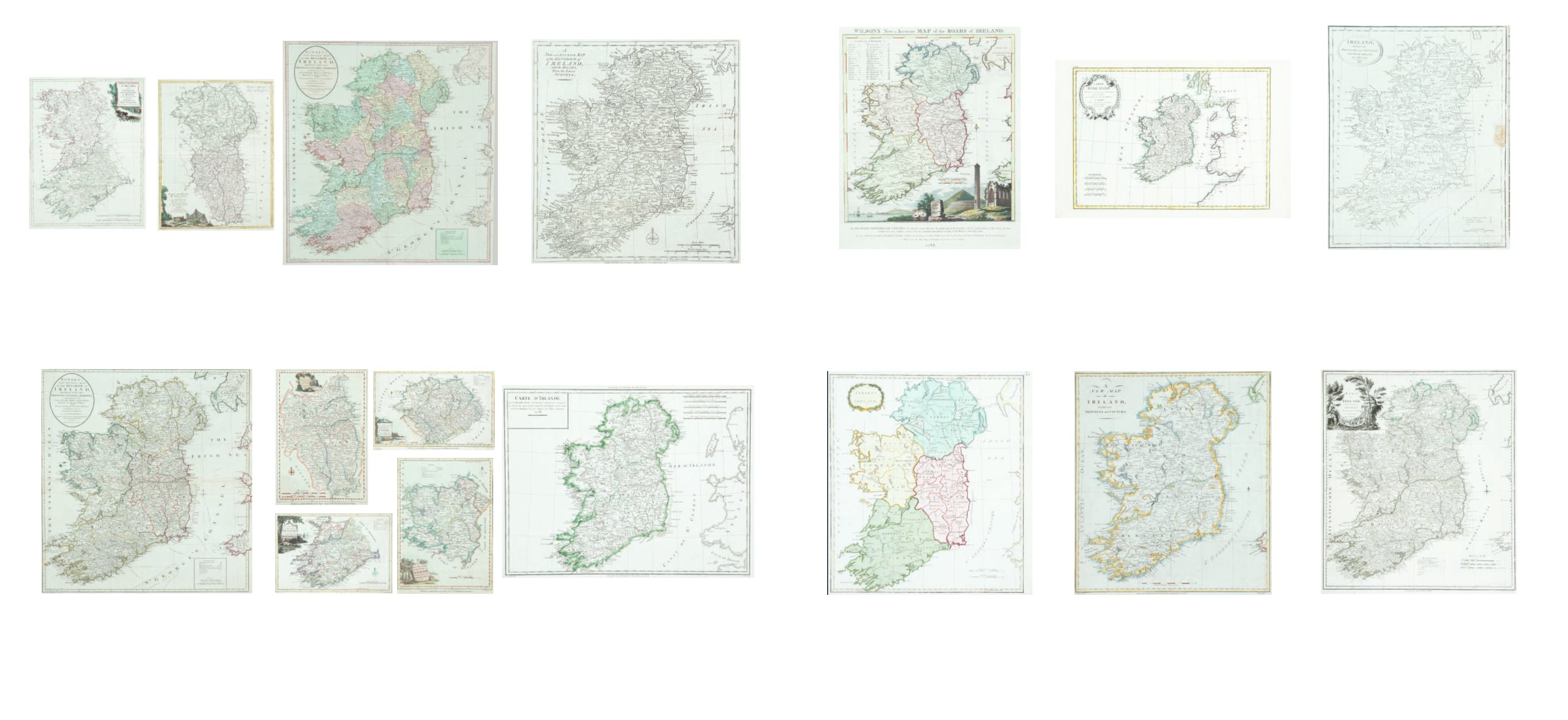
William Wilson
Wilsons new and accurate Map.....
From the Post Chaise Companion (1783). 340 x 440. Abl
132(ii); and a Plan of the City of Dublin from Wilson’s Dublin
Directory of 1794. 385 x 295. Abl D 31. (2)
€ 100 -150
403
Thomas Stackhouse (1706-1784)
Present Ireland
From his New Universal Atlas (1783). 370 x 410. Abl 129(i).
€ 80 - 100
404
Philippe/ Rigobert Bonne
L’Irlande
Possibly from an Atlas Universel ... (1770). Abl 134.
Rigobert Bonne
Carte d’Ireland ...
From Atlas Modern ... (1771). Abl 107(i). (2)
€ 100 - 140
405
John Haywood (1784-1815)
‘A New Map of Ireland’. 1787. 356 x 414. Abl 135.
€ 100 - 200
406
John Russell
Ireland
C.1802. 370 x 405. Abl 136(iv).
€ 60 - 80
407
Franz Anton Schraemble (1751-
1804)
A Map of Ireland
Kart von Ireland. From his Grand Atlas Universel [1790]. 565
x 635.
Abl 137.
€ 130 - 180
396
Antonio Zatta
A Map of Ulster and Leinster
and a Map of Connaught and Munster
From his Atlante Novissimo. Venice (1779). 315 x 410. Abl
119 (a & b) (2)
€ 150 - 200
397
Henry Carrington Bowles
Bowles’ New Pocket Map of the ...
Possibly issued separately..1779 580 x 624. Abl 120(ii).
€ 200 - 300
398 Henry Carrington Bowles
Bowles’ New Pocket Map.....1791
From Bowles’ Universal Atlas [n.d.]. 580 x 624. Abl 120(iii).
€ 200 - 300
399
John Kitchen
Maps of Ulster, Munster, Connaught and
Leinster
Published by Alex Hogg in Walpole’s New British Traveller
(1790). 265 x 350 - 205 x 320 etc. Abl 123a. (4)
€ 120 - 150
400
John Bew (1774-1793)
A new and accurate Map of Ireland
From The Political Magazine, 1780-85. 335 x 370. Abl 126(i).
€ 40 - 60
401
Pierre Francois Tardieu (1752-1798)
Two States of the Map of Ireland from various Montelle atlases.
350 x 335. Abl 128(i) & (ii). (2)
€ 50 -100