


 146-147 / 160

147
448
Thomas Kitchen (1718-1784)
Four Maps of Ireland
From varying editions of Guthries’ small gazetteers. Abl 925)i;
SG (25)iii; SG 27; SG 28(iii). (4)
€ 80 - 100
449
William Home Lizars (1788-1859)
Ireland
From his General Atlas (1853). 220 x 250.
€ 40 - 60
450
John Rocque (1705-1762)
A Plan of the City and Suburbs of Dublin
(1765).
From Harris’s History and Antiquities of Dublin published in
1766. Abl G 16(iii).
€ 80 - 120
451
G. Rollos
A Map of Ulster
The Royal Magazine. 175 x 105.
€20 - 40
452
John Tallis
(i) A Map of Ireland. 240 x 345cm;
(ii) A Town Plan of Belfast. 245 x 345.
(iii) A Town Plan of Cork. 345 x 270.
(C.1851). (3)
€ 100 - 150
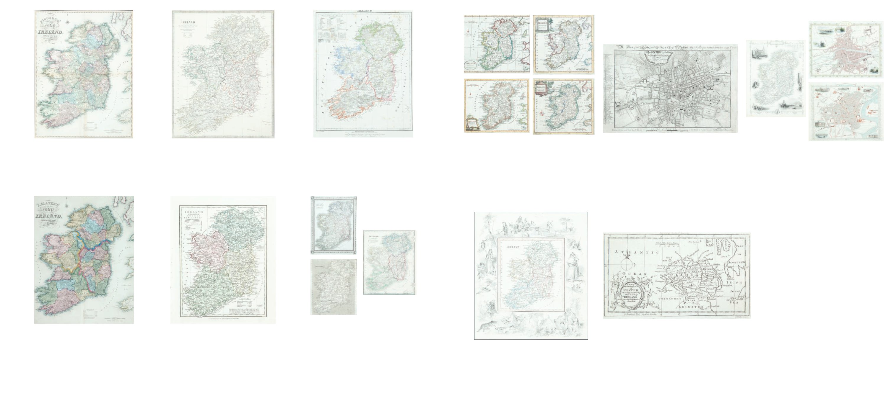
442
James Pigot
‘Pigot & Co. Map of Ireland’
From Pigot & Co.’s British Atlas [1840]. 525 x 675. Abl
326(ii).
€ 100 - 200
443
Isaac Slater (1829-1878)
Slater’s (late Pigot & Co.) ‘New Map of ... ‘
From Slater’s New British Atlas. 525 x 675. Abl 326(iii).
€ 100 - 200
444
The Society of the Diffusion of Useful
Knowledge
Three Maps of Ireland
Two editions of the single sheet map and one copy of the two
sheet map. Abl 346. (3)
€ 50 - 80
445
Gilbert, James
Ireland
From Gilbert’s Modern Atlas ... with text by Robert Mudie,
London [1850]. 225 x 283. Abl 351(vii) or later.
Wylde, James
“Ireland” From A General Atlas published by
John Thompson [1819]. 223 x 297. Abl 265.
Wilkinson, Robert
“Ireland as Represented ...”
From A General Atlas of the World. 3rd edition, published by
Robert Wilkinson [1822]. 219 x 282. Abl 202(ii). (3)
€ 60 - 100
446
Flemming, Carl (1815-1879)
Ireland
From Univeral Hand-Atlas (1844)
C. 1860. 299 x 368. Abl 377.
€ 30 - 50
447
Anon
Four Maps of Ireland
(i) ,
John Dower
‘Ireland’
from Milner’s Descriptive Atlas
(1850)
Abl 303(v); (ii)
John Lothian
‘Ireland’ from
John Lothian’s The
People’s Atlas
(1896), Abl 391; (iii) ‘A New Map of Ireland
...’, Anon
From Cooke’s Modern and Authentic ... Geography
(1803), Abl SG 56(i); and (iv) another engraved by C. Clark. (4)
€ 50 - 70