


 46-47 / 160

47
www.adams.ieThe R.S.J.Clarke Collection of Cartography
15
th
December 2015
99
Greenville Collins (1653-1693)
A Chart of Dublin Bay
Second state with the page number 34 and plan of Dublin.575 x 450
€ 200 - 300
100
Greenville Collins (1653-1693)
A Chart of Kinsale
J Harris sculp at bottom left.575 x 450
€ 200 - 400
95
Greenville Collins (1653-1693)
A Chart of Belfast Lough
from his Great Britain’s Coasting Pilot
First published in 1653. This is the third state. 550 x 450
€ 200 - 400
97
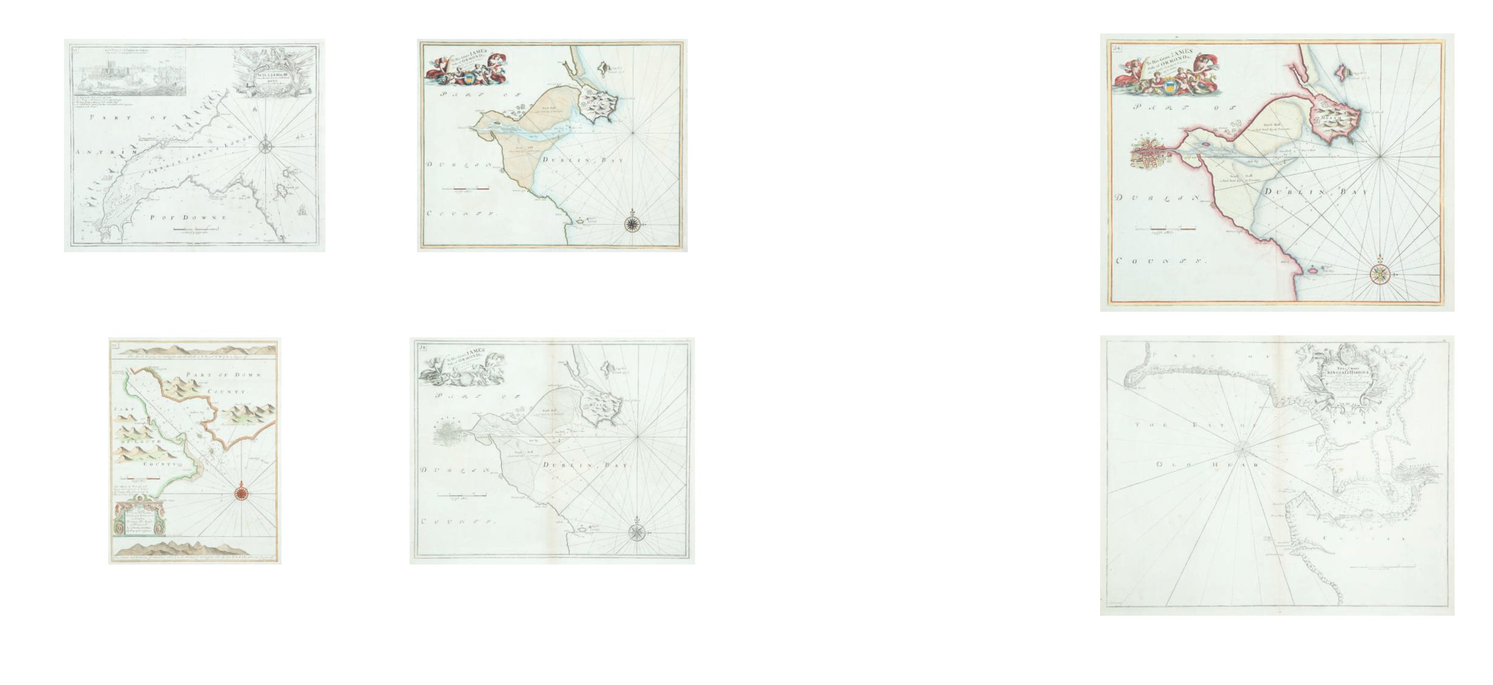
Greenville Collins (1653-1693)
A Chart of Dublin Bay
First state without the page number and plan of Dublin. Abl C1(i). 575 x 450
€ 200 - 400
98
Greenville Collins (1653-1693)
A Chart of Dublin Bay
Second state with the page number 34 and plan of Dublin. Abl C1(ii). 575 x 450
€ 150 - 250
96
Greenville Collins (1653-1693)
A Chart of Carlingford Lough
from his Great Britain’s Coasting Pilot. This is the second state. 323 x 430
€ 200 - 300