


 42-43 / 160

43
www.adams.ieThe R.S.J.Clarke Collection of Cartography
15
th
December 2015
89
John Ainslie (1745-1828)
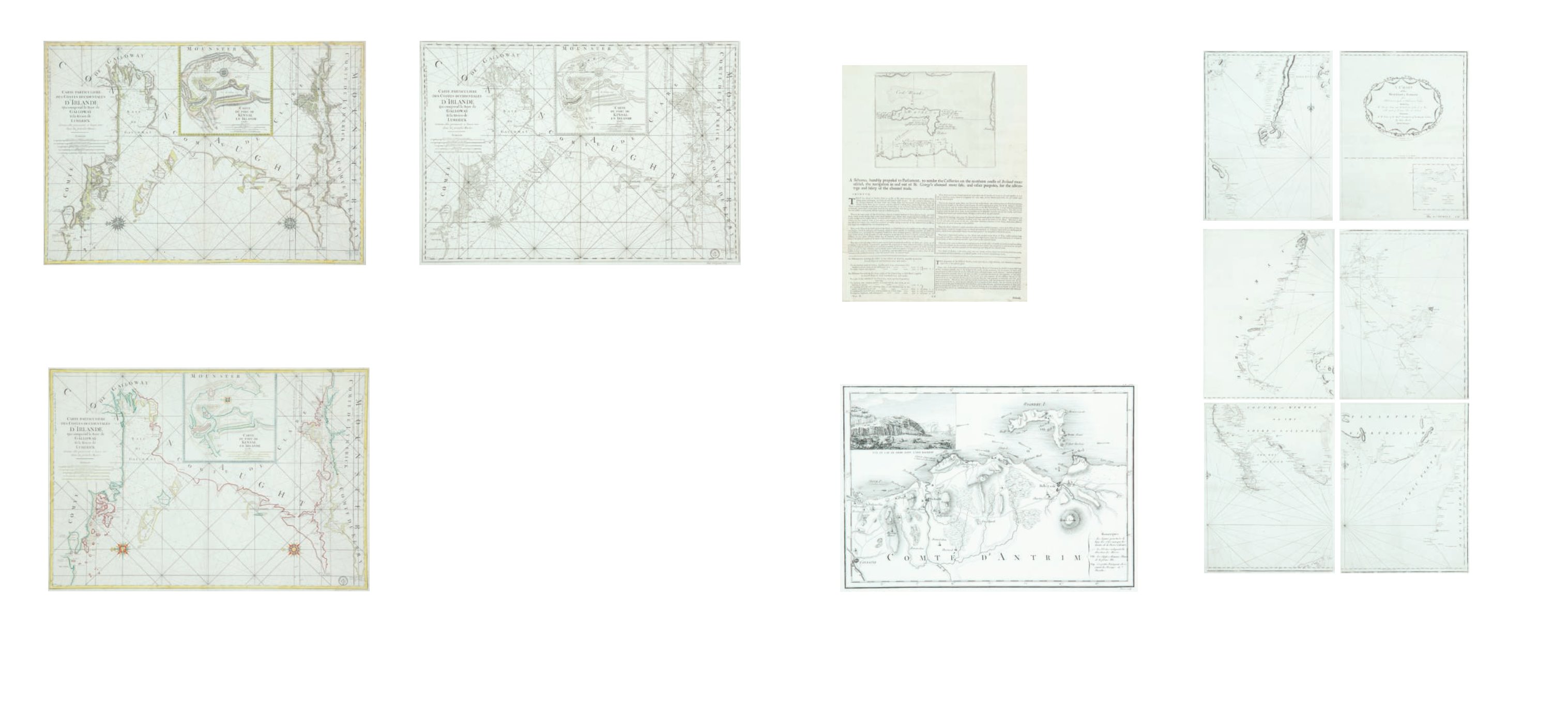
A Chart of the West Coast of Scotland and Northern Ireland
On six sheets published for H.M. Customs in 1789. (6) 1,330 x 1,180
€ 600 - 1,000
87
Anonymous
A Chart of Rathlin Island and the North Antrim Coast
Journal of the Irish House of Commons, page 479 (1758).
€ 50 - 100
84
Charles Pene
A Chart of Galway Bay and the Shannon with Kinsale Insert
“Carte Particuliere des Costes Occidentales d`Irlande Qui comprend la Baye de Galloway et
la Riviere de Lymerick. Comme elles paroissent a basses mer dans les grands Marees”.
New plate with many minor changes, no watermark and addition of various scales. (1753).
870 x 605.
€ 250 - 300
86
Charles Pene
A Chart of Galway Bay and the Shannon with Kinsale Insert
“Carte Particuliere des Costes Occidentales d`Irlande Qui comprend la Baye de Galloway et
la Riviere de Lymerick. Comme elles paroissent a basse mer dans les grands Marees.”
As 1772 chart but with Depot de la Marine mark (and R.F.), also “Prix cinquante francs”
below. (1798). 870 x 605.
€ 250 - 300
85
Charles Pene
A Chart of Galway Bay and the Shannon with Kinsale Insert
“Carte Particuliere des Costes Occidentales d`Irlande Qui comprend la Baye de Galloway et
la Riviere de Lymerick. Comme elles paroissent a basse mer dans les grands Marees”
As 1753 chart but with Depot de la Marine mark (and fleurs de lis) and with “No. 12” in top
right corner. (1772). 870 x 605.
€ 250 - 300
88
Anonymous
A Map and Chart of the North Coast of Antrim
Engraved by Poiret (c.1820).
€ 50 - 80
Irish & British Charts