


 124-125 / 160

125
www.adams.ie326
Sir William Petty (1623-1687) and Thomas Jefferys (1710-1771)
A Map of Munster and a Map of Leinster.
From issued separately or as a collection to be included in composite atlases of the day. 569 x
446. Abl 24(iii). (2)
€ 500 - 600
328
Giovanni Giacomo Rossi (1627 - 1691)
Le D’Irlande Royaume
From Mercurio Geografico overo Guida Geografica in Tutte le Parti del
Mondo (1690). 437 x 481. Abl 29.
€ 300 - 500
329
Johann Christoph Beer (1665-1695)
Hiberniae
From Neu Geharnischte Gross Britannien. 250 x 295.
And a Town Plan of Dublin
130 x 160. Published Nuremberg in 1690. Abl 30.
(2)
€ 350 - 450
327
Philip Lea (1660-1700)
An Epitome of Sr. William Petty’s Large Survey of Ireland...’
from Cox’s Hibernia Anglicana. 1689. 550 x 475. Abl 27(ii).
€ 350 - 450
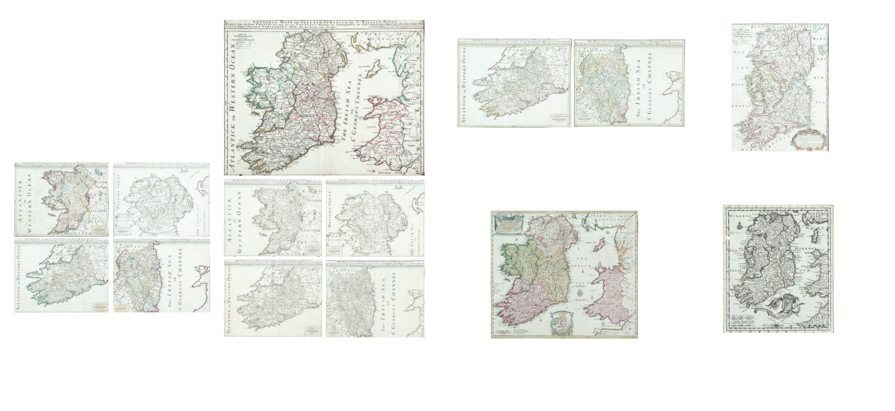
324
Sir William Petty and William Berry (1669-1708)
A Map of the four Provinces and a Map of Munster, Connaught,
Leinster and Ulster.
From issued separately or as a collection to be included in composite atlases of the day.
560 x 440. Abl 24(i). (4)
€ 1,200 - 1,800
325
Sir William Petty and George Wildey (1707-1737)
A Map of Ireland and a Map of Munster, Connaught, Leinster and
Ulster.
From issued separately or as a collection to be included in composite atlases of the day. 560 x
440. Abl 24(ii). (5)
€ 1,500 - 2,000