


 126-127 / 160

127
The R.S.J.Clarke Collection of Cartography
15
th
December 2015
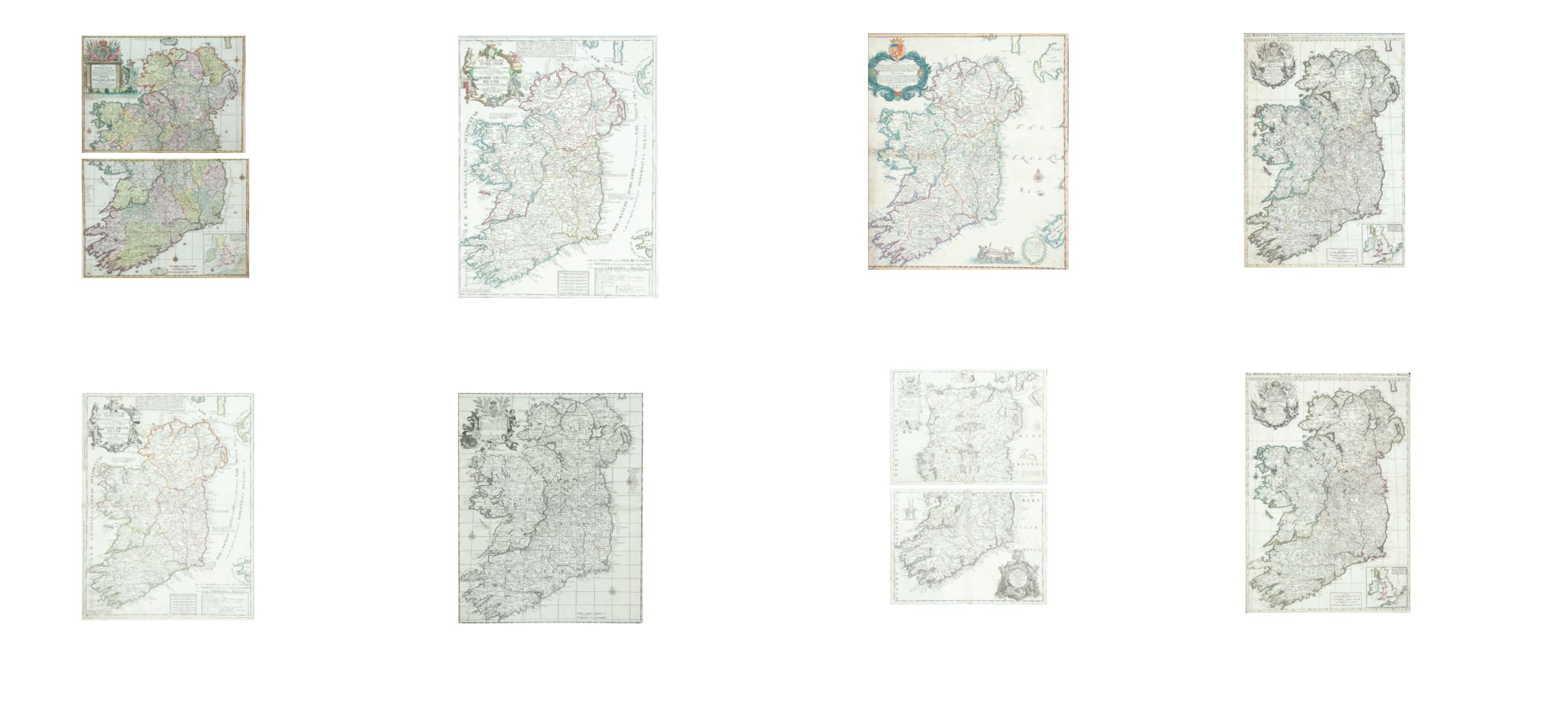
334
John Overton (1640-1713) and Robert Morden (1650-1703)
‘A New Map of Ireland ...’.
From issued seperately and found in composite atlases. [1691]. 506 x 594. Abl 36.
€ 300 - 500
336
Alexis Hubert Jailliot (1632 -1712)
Le Royaume D’Irlande.
From Nouvelle Introduction a la Geographie. Published in Paris in 1693. 625 x 910. Abl
40(i).
€ 300 - 500
337
Alexis Hubert Jailliot (1632 -1712)
Le Royaume D’Irlande.
From La Geographie. Published by Mortier, Amsterdam in 1696. 625 x 910. Abl 40(ii).
€ - 300-400
335
Vincenzo Maria Coronelli (1650-1718)
A Map of Ireland in Two Halves,
North & South (1697). From Vol. II of his Isolario Dell Atlante Veneto [1697]. Text on verso.
610 x 452 and 610 x 460. Abl 38(ii).
€ 400 - 500
330
Philip Lea (1666-1700) and Herman Moll (1655-1732)
A New Map of Ireland
From issued separately. In four sections joined in two. [1695]. 618 x 924. Abl 32(ii).
€ 600 - 800
332
Jean Baptiste Nolin (1657-1725)
Le Royaume D’Irlande.
State with date (1690) erased. 460 x 605. Abl 33.
€ 300-400
333
Charles Browne
A New Map of the Kingdom of Ireland
From numerous composite atlases at the end of the 17th century. 480 x 593. Abl 34.
€ 500 - 800
331
Jean Baptiste Nolin (1657-1725)
Le Royaume D’Irlande.
State without Coronelli attribution. 460 x 605. Abl 33.
€300-400