


 112-113 / 160

113
www.adams.ieThe R.S.J.Clarke Collection of Cartography
15
th
December 2015
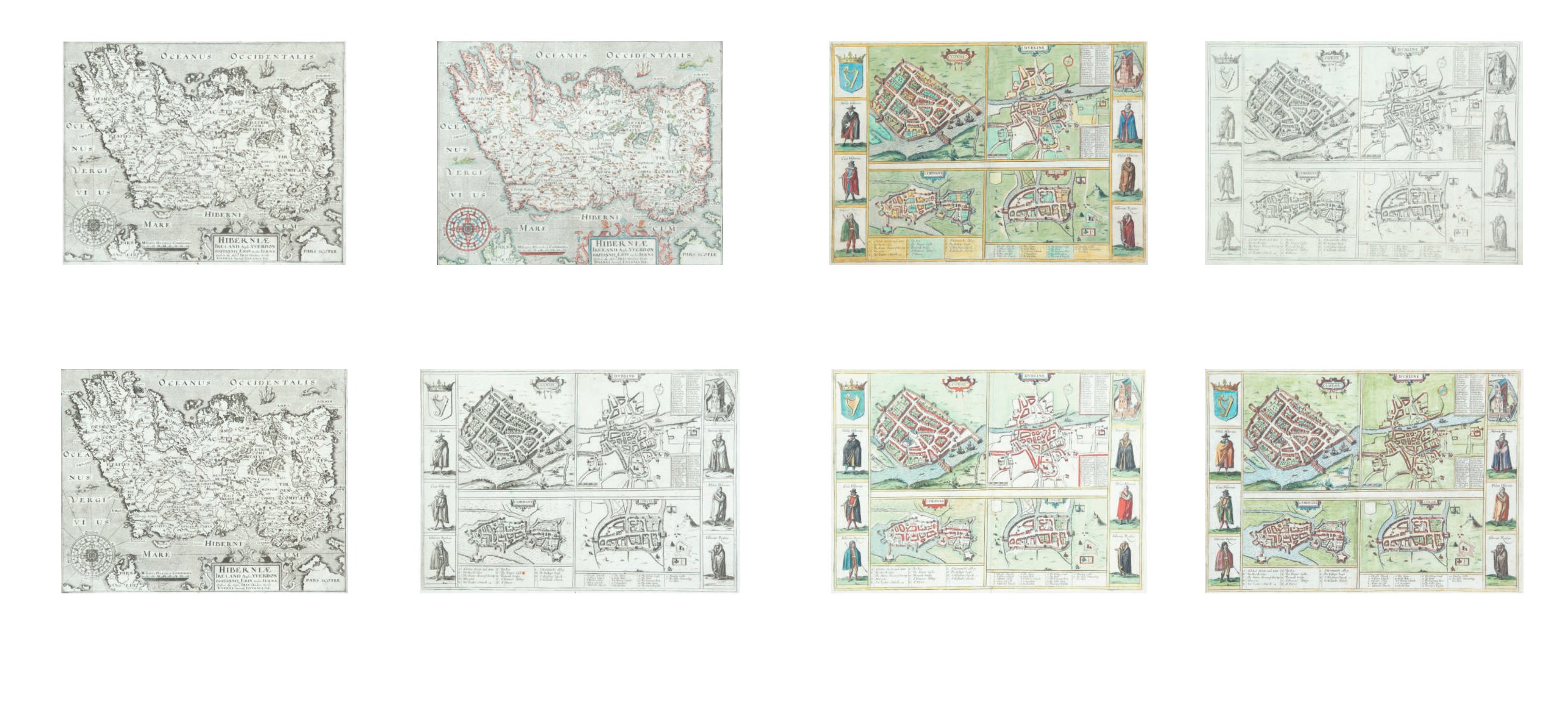
292
Georg Braun and Franz Hogenberg
Town Plans of Galway, Dublin, Limerick and Cork
From their Civitates Orbis Terrarum [1657]. Latin text. Jansson edition. 310 x 420. Abl
P335.
€ 450 - 550
290
Georg Braun and Franz Hogenberg
Town Plans of Galway, Dublin, Limerick and Cork
From their Civitates Orbis Terrarum [1618]. French text on verso. 310 x 420. Abl P332.
€ 450 - 550
288
Georg Braun and Franz Hogenberg
Town Plans of Galway, Dublin, Limerick and Cork
From their Civitates Orbis Terrarum [1617]. Latin text on verso. Black & white. 310 x 420.
Abl P330.
€ 400 - 500
286
William Hole (fl. 1607-1646)
Hiberniae
From Camden’s Britannia. Seventh edition (1610). Based on Mercator’s map (1595). Abl
P237.
€ 300 - 350
289
Georg Braun and Franz Hogenberg
Town Plans of Galway, Dublin, Limerick and Cork
From their Civitates Orbis Terrarum [1618]. Latin text on verso. 310 x 420. Abl P331.
€ 400 - 500
291
Georg Braun and Franz Hogenberg
Town Plans of Galway, Dublin, Limerick and Cork
From their Civitates Orbis Terrarum [1618]. Latin text on verso. Black & white. 310 x 420.
Abl P334.
€ 400 - 500
285
William Hole (fl. 1607-1646)
Hiberniae
From Camden’s Britannia. Sixth edition (1607). Based on Mercator’s map (1595). Abl
P236.
€ 350 - 400
287
William Hole (fl. 1607-1646)
Hiberniae
From Camden’s Britannia. Eight edition (1837). Based on Mercator’s map (1595). Abl
P238.
€ 300 - 350