


 120-121 / 160

121
314
Gerard & Leonard Valk
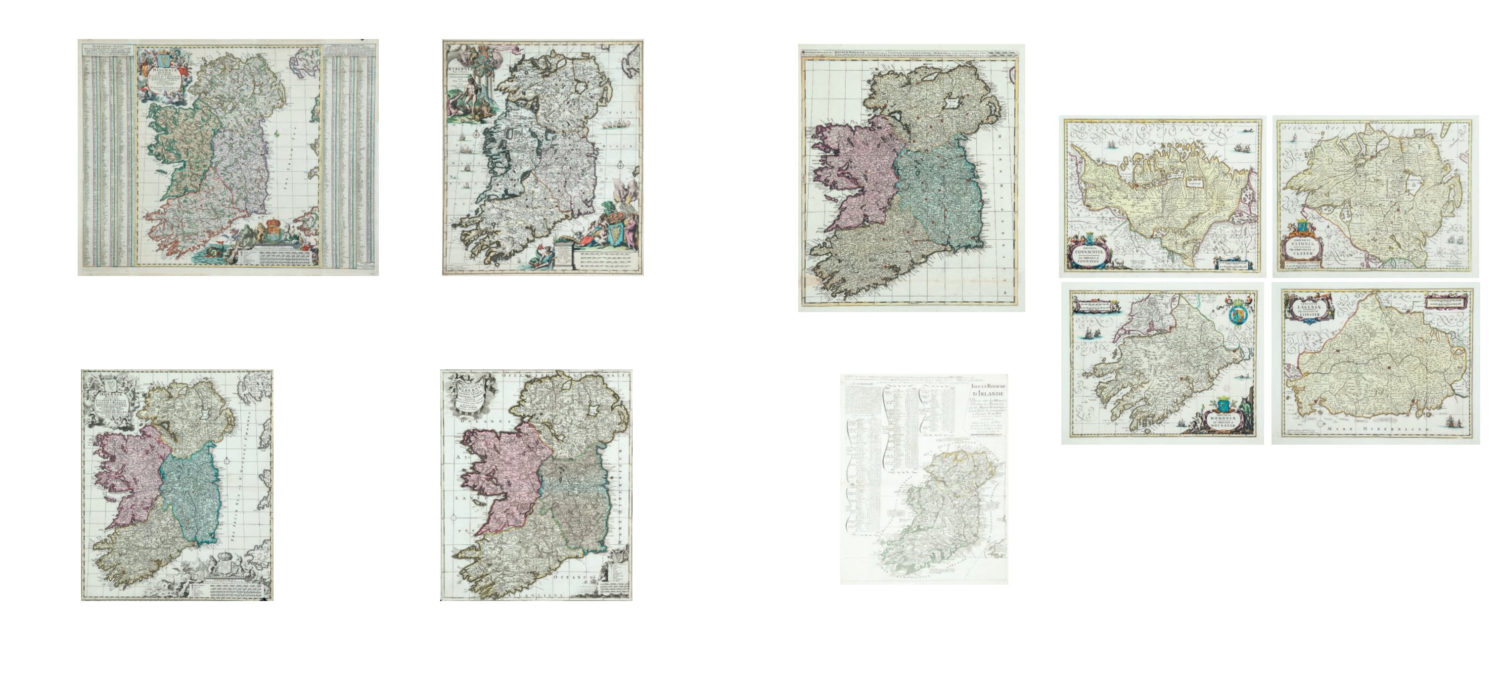
Regnum Hiberniae
from his Atlantis Sylloge Compendiosa (1702). 492 x 589. Abl DS 7.
€ 300 - 500
315
The Four Province Maps of Jansson,
reissued by Schenk & Valk (1705). The original Jansson plates re-engraved with new
cartouches C.484 x 377. Abl DS 8(iii).
€ 1,000 - 1,200
310
Nicholas Visscher
Hiberniae Regnum
With side pannels. 1710. 466 x 560. Abl DS 3(ii).
€ 400 - 600
312
Carol Allard (1648-1706)
Hiberniae
“Hybernia Regina in Provincias ...”. Taken from his Atlas Minor, (1697). One of the most
decorative maps of Ireland. 501 X 588. Abl DS 5(i)
€ 500 - 700
313
Pieter Schenk (1660-1711)
Hiberniae
A Map of Ireland from his Atlas Contractus (1705). 490 x 582. Abl DS 6.
€ 300 - 500
311
Nicholas Visscher
Hiberniae Regnum
(1710). As above with Schenks imprint. 474 x 562. Abl DS 4(iii).
€ 400 - 600
314A Nicholas de Fer (1646-1720)
Isle et Royaume D’Irlande ...
From his Atlas ou Recueil de Cartes Geographiques published
in Paris in 1707. 470 x 590. Abl 31(iii)
€ 300 - 400