


 164 / 244

164
info@adams.ie611
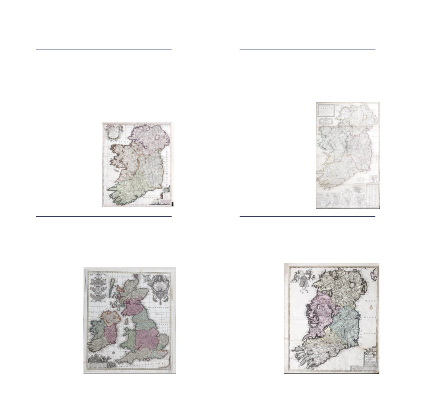
PETRUS SCHENK 1660-1711
Novissima et Accuratissima/Regni et Insulae/Hiberniae
/ Delineato, in qua sunt / Lagenia, Ultonia /Connachis et
Momonia / Provinciae / Divisae in Triginta duos comitatus/qui
et sunt divisi in omnes subtacentes/Baronnatus, per / Petrus
Schenk / Amstelodami cum Privilegio A map of Ireland taken
from Atlas Contractus 1705 Hand coloured engraving, 610 x
510mm Abl - DS 6
€300 - €500
612
MATTHIAS SEUTTER, C. 1740
Tabula Nouissima Accuratissima Regnorum Anglia Scotia
Hiberniae A map of Ireland and the British Isles Hand
coloured engraving, 61 x 52cm sheet
€200 - €400
613
HERMAN MOLL 1654-1732
Ireland from Moll’s ‘World Described’
printed by I Bowles at the Black Horse, P.Overton near St
Dunstans Church, T.Bowles next to the ChapterHouse in St
Pauls, and I King at the Globe [1740]
621 x 1028mm
€500 - €600
614
FREDERICK DE WIT 1680
Reginum Hiberniae Coloured engraving,
483 x 571mm Abl DS 1(ii)
€200 - €300