


 169 / 244

169
The History Sale 2015
www.adams.ie628
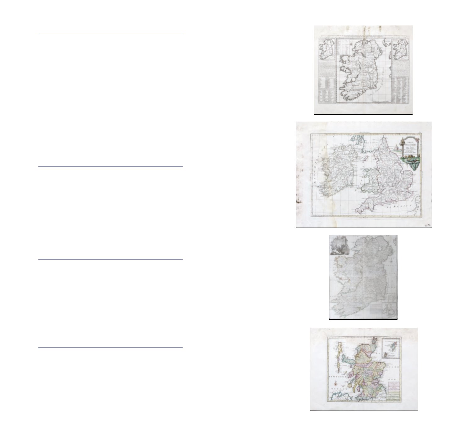
HENRI ABRAHAM CHATELAIN 1708
Carte ancienne et modern de l’irlande
Engraving, 454 x 343mm Abl 46
The map is framed by columns of engraved text on either side. It shows the ancient
names; together with
Nouvelle Carte De l’Irlande Engraving, 458 x 348mm Abl 47 This map is flanked either side with
engraved text with the column either side headed by a small map of Ireland;
and Caerte du Governement Civil Engraving, 458 x 348mm Abl 47 It contains two small maps, the
left on depicting the garrison towns and the provinces and the right depicting the man towns.
The Irish and the British coat of arms are next to them and what proports to be the earlist
repersentation of the Irish Houises of parliament appear atthe bottom left and right.
€100 - €200
629
ANTONIO ZATTA 1778
Li regni D’inghinittera e D’Irlanda
Coloured engraving, 387 x 291mm; together with Rigobert Bonne 1766 L’Angleterre Colour
engraving, 203 x 269; Rigobert Bonne 1766 Les Isles Brittaniques Colour engraving, 203 x
271mm.
€100 - €150
630
ISAAC TIRION
Niuewe kart van Groot Brittanie behelzende De koningryk Engeland, Schotland en Ireland
Coloured engraving, 374 x 324mm
€100 - €150
631
ISAAC TIRION 1755
Niuewe kart van Groot Brittanie het koingryk Schotland
Coloured engraving, 364 x 319mm
€100 - €150