


 163 / 244

163
The History Sale 2015
www.adams.ie610
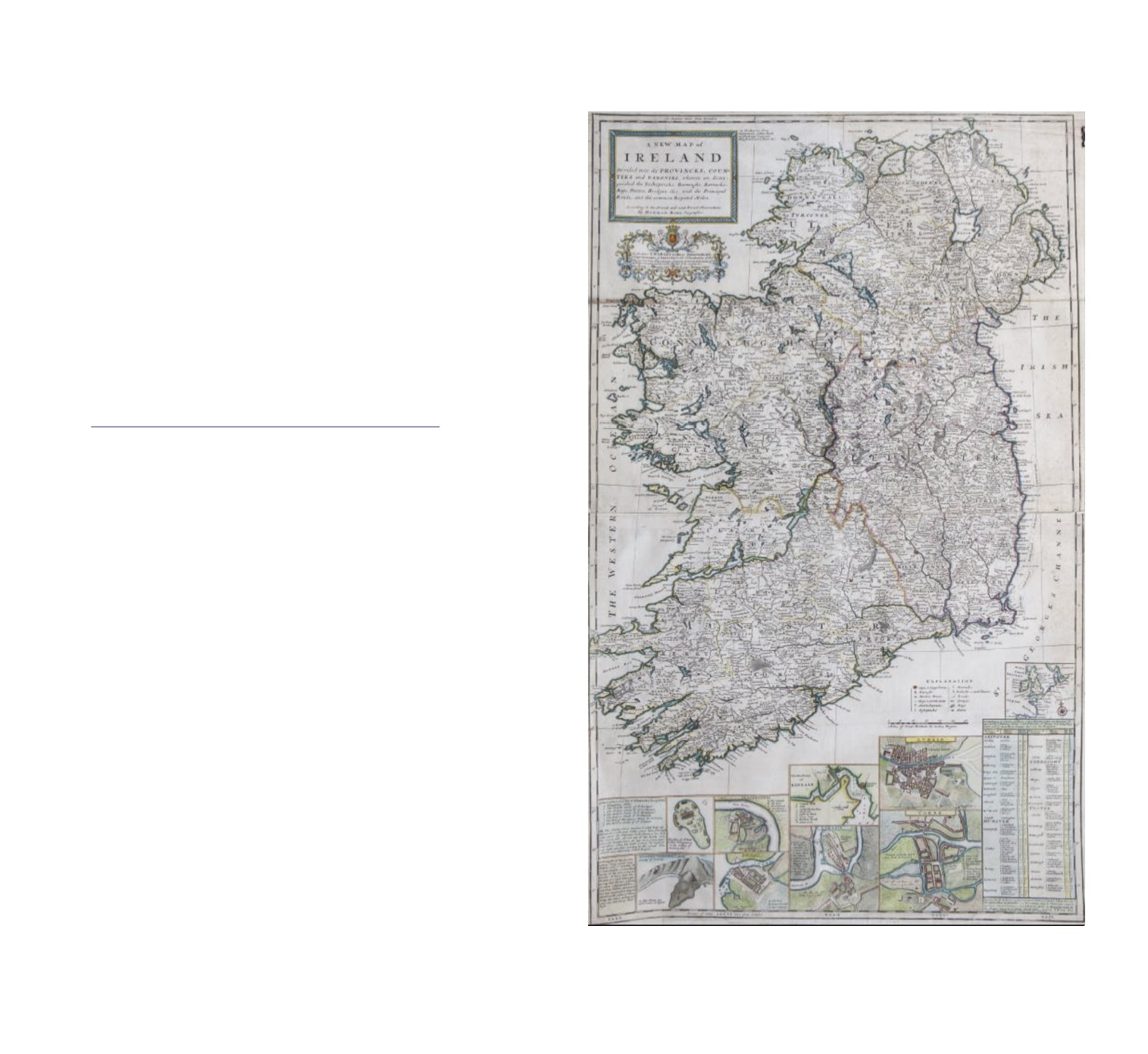
HERMAN MOLL 1654-1732
A new map of Ireland Divided into its Provinces and Counties and Baronies
Coloured engraving, 1040 x 640mm Containing vignettes of the town plans for
the Isle of St Patrick’s purgatory, Kinsale, Waterford, Galway, Limerick, Dublin
and Cork, with onsite mileage chart.
€600 - €1,000