


 240 / 326

240
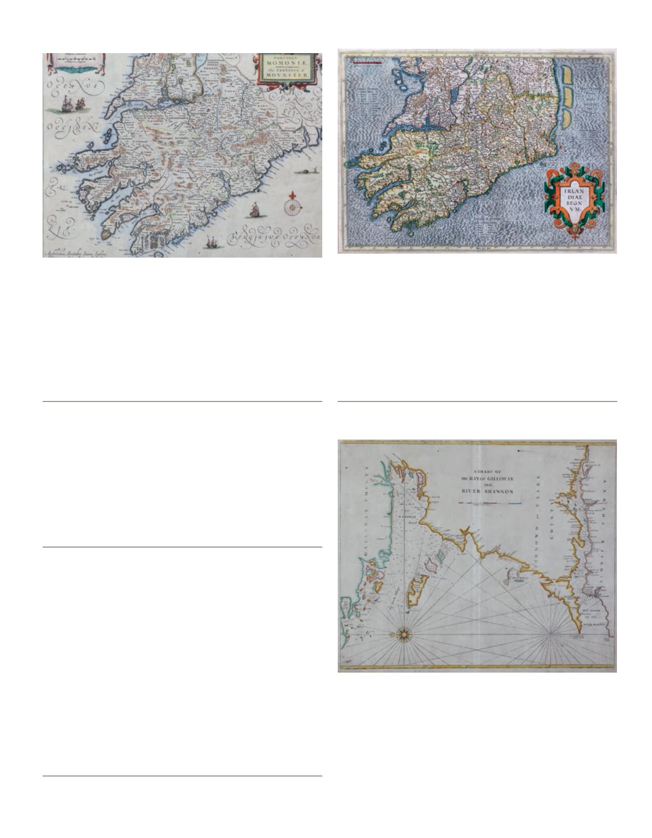
389 JOHANNES JANSSEN (1588-1664)A Map of Munster, from the 1846 Latin Edition of his Atlas Novus
Engraving, 38 x 48cm
ABL ME152.2
€ 400 - 500
390 GERARD MERCATOR (1512-1594)A map of the Southern half of Ireland
Engraving, 36 x 48cm
€ 350 - 450
391 JOHN SELLER (1634-1697)A chart from Galway to the Shannon
Engraving (1750), 45 x 53cm
€ 200 - 300
392 GIOVANNI MARIA CASSINI (C. 1745-1824)A Map of Connaught and Munster
From “Nuovo Altante Geographico Universale”, published Rome
1797
Engraving, 49 x 36cm
ABL1576
€ 150 - 200
391