


 85 / 259

85
www.adams.ieArt & Literature| 13th December 2016
109 JOHN SELLER (1634-1697)A Chart of the North-east Coast of Ireland
From the English Pilot, Southern Navigation. Mount & Page
edition. This chart first seen in 1690. (Dublin to Londonderry).
And a Chart of the North-west (2)
Provenance: The Richard S.J. Clarke Collection
€ 150 - 250
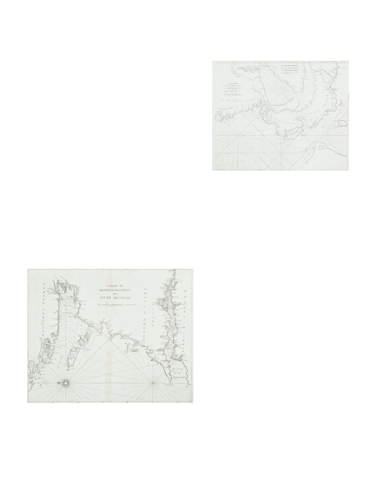
110 JOHN SELLER (1634-1697)A Chart of Galloway (sic) and the River Shannon
Mount & Page edition. From the English Pilot. 530 x 445
Provenance: The Richard S.J. Clarke Collection
€ 80 - 120