


 84 / 259

84
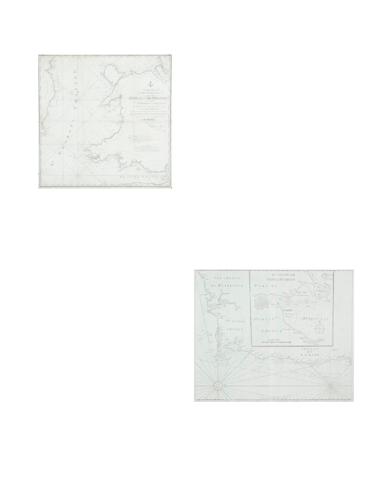
107 WILLIAM MORRISChart of St. George’s Channel
This is a loose chart, considerably modified from Lewis Morris’s
chart of 1748 covering the same area, which was published in
1800.
It shows the Irish coast from Carnsore Point, county Wexford, to
Lambay Island, county Dublin, as well as the British coast from
north Somerset and Cardiff to Formby, Lancashire. The title in the
centre right, unframed, reads “To the Right Honourable the Lords
Commissioners for executing the Office of Lord High Admiral of
Great Britain, Ireland, &c. This Chart of St. George’s Channel &c.
Surveyed under their Lordships’ direction by the late Lewis Morris
Esqr. which is now extended by an Actual Survey (the whole
Corrected & much Improved) from Liverpool to Cardiff in the
Bristol Channel; is by Permission most respectfully dedicated by
their Lordships’ obedient humble servant William Morris”. Below
the lower margin is “Published 25th Novr. 1800 by Willm. Morris.
Engraved by Wm. Simpkins, Clements Inn”. Below this is an expla-
nation of symbols and below it, unframed, is “A Scale of Leagues
10 [= 147 mm.]”. There is one compass rose showing north to
the top and there are scales of latitude and longitude (W. from
London) along all four borders. 780 x 885mm.
Provenance: The Richard S.J. Clarke Collection
€ 150 - 250
108 JOHN SELLER (1634-1697)Chart of the South-East Coast of Ireland
This is the second in the Grierson edition of Irish charts from
The English Pilot, Southern Navigation, published in Dublin in
1730. The large inset which is a feature of this chart, is based
on Greenvile Collins’ Chart of Dublin Bay, published in 1693.
535 x 440 mm.
Provenance: The Richard S.J. Clarke Collection
€ 100 - 200