


 170 / 259

170
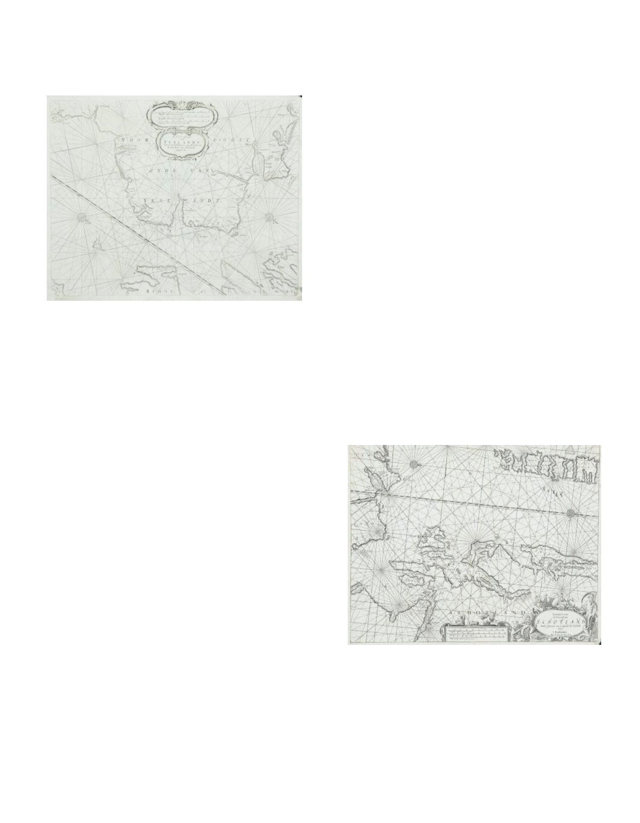
212 THEUNIS JACOBSZ (1606-1650)A Chart of the North-east Coast of Ireland (1689)
“De Noord-oost zyde van Yerlandt van Caap de Hoorn tot aen Hedehde en
als mede hoe t`van Schotlandt gelegen is.” A later state of the plate, from
the 1689 Zee-Spiegel with the addition of a bar showing latitude. Verso
blank. 530 x 410.
Provenance: The Richard S.J. Clarke Collection
€ 120 - 160
213 HENDRICK DONCKER (1625 - 1699)A Chart of the West Coast of Scotland and the North-north-east Coast of Ireland
(1703)
“Pascaert van de West cust van Schotland van de Inwyck van Lougreau tot `t
Eyland Skye `t Amsterdam By Hendrick Doncker.” This chart was added to the
Nieuw Groot Steurmans Zee-Spiegel for the 1681 edition and this state with a
meridian bar graduated for latitude dates from 1703. No 41 in lower right corner.
Verso blank. 530 x 430.
Provenance: The Richard S.J. Clarke Collection
€ 120 - 160