


 52 / 162

52
149 A MAP OF TRALEE FROM THE BOUNDARY COMMISSIONS REPORT ON THE TOWN OF TRALEE.35 X 45CM
€ 50 - 70
148 ALEXANDER NIMMO (1783-1832)A map of the bogs and rivers of laune and lower marine, PL4 no. 3
of the fourth reprint on the Bogs of Ireland.
€ 100 - 150
147 GREENVILLE COLLINS (C. 1643-1694)A chart of Strangford Lough
Engraving, 43 x 32cm
€ 100 - 200
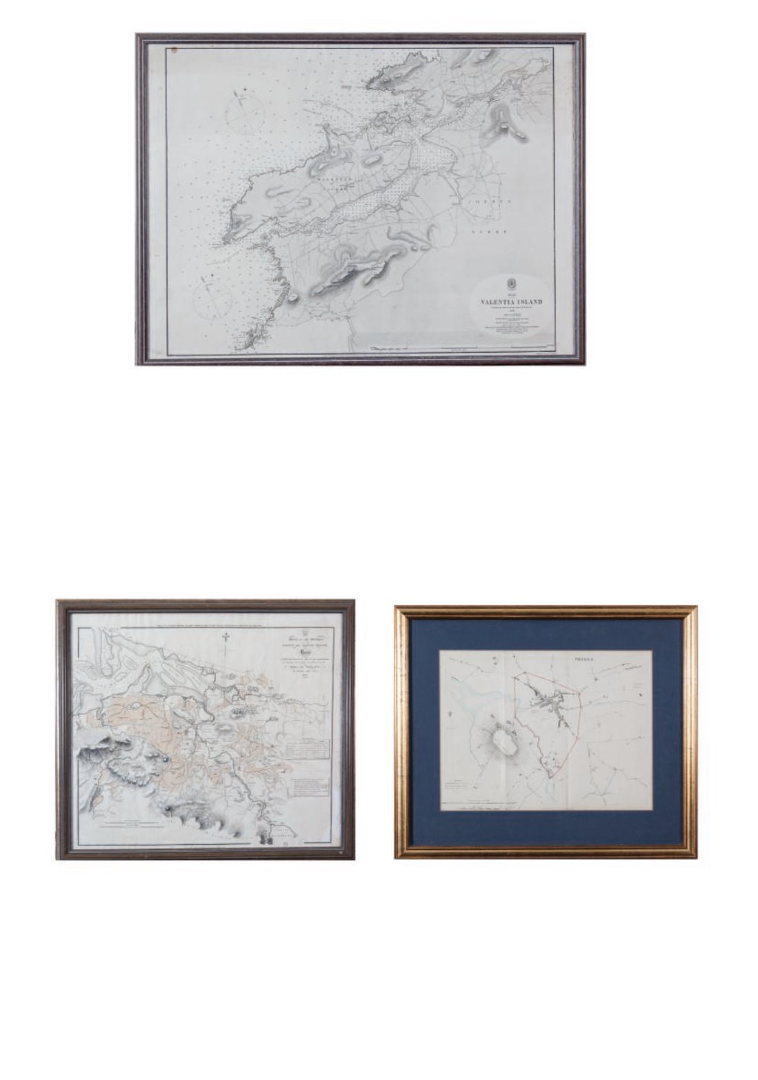
146 ADMIRALTY CHARTSA chart of Valentia no. 2125
Sc to 1861
Engraving, 50 x 67am
€ 50 - 100
146