130
345
J. HARRIS, 18TH Century
Printed Sea Chart covering the coast of Co. Down and Co. Louth
451 x 340mm
€200 - 300
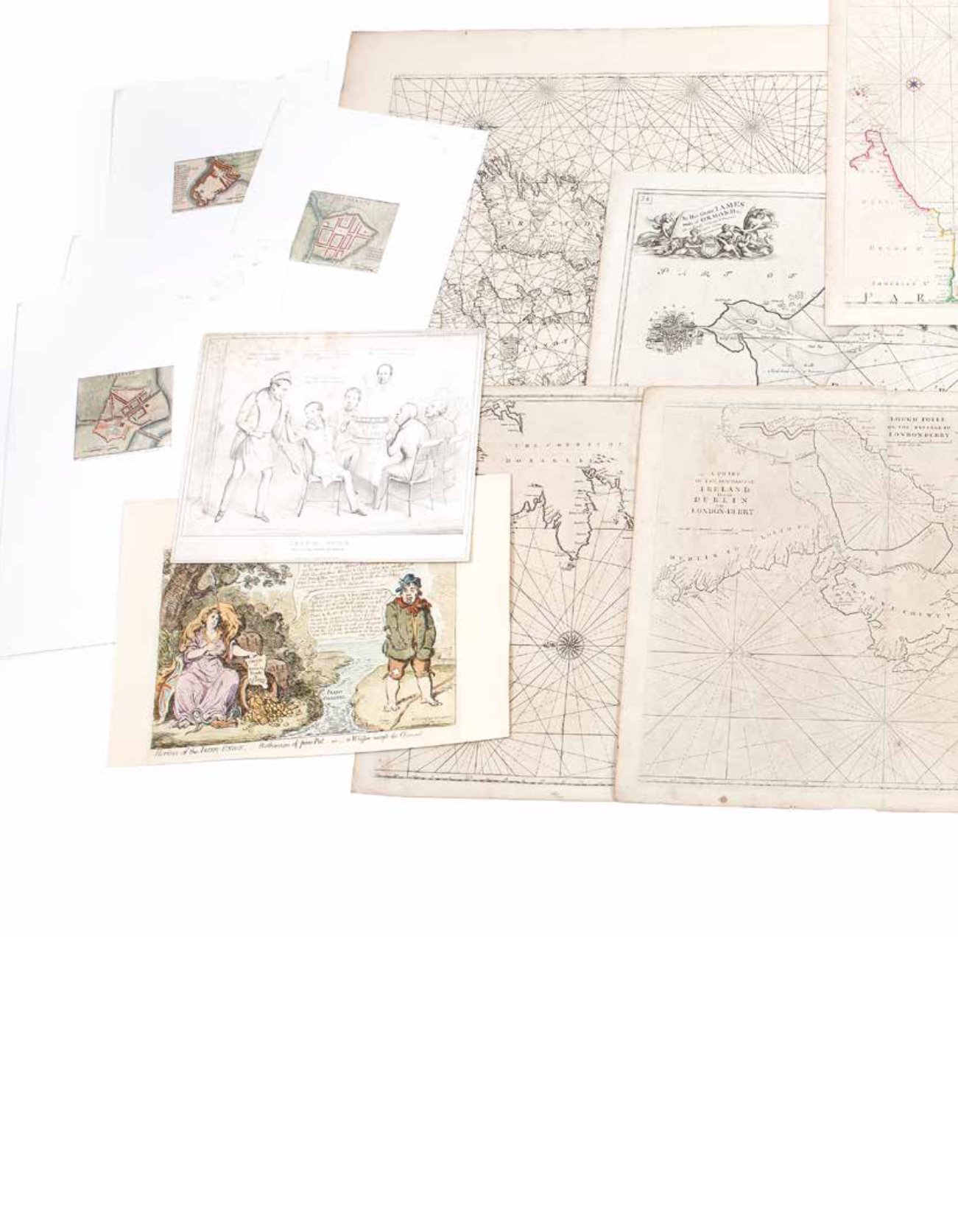
346
A SEA CHART OF DUBLIN BAY, Late 17 Century
Covering the coast from Dalkey to Howth, printed “To his grace
James Duke of Ormond humbly dedicated and persented by captin
G. Colins”. 456 x 361mm
€200 - 300
347
A SEA CHART, 18th Century
The Bay of Galloway and River Shannon. 444 x 530mm
€200 - 300
348
PASCAART VANDE CANAAL, Amsterdam c.1700
Map of England, Schotland en Yrland
515 x 610mm
€200 - 300
349
A SEA CHART OF DUBLIN BAY c.1730,
Covering the coast from Dalkey to Howth, printed “To his grace
James Duke of Ormond humbly dedicated and presented by
Capatin G. Colins”. 451 x 570mm
€200 - 300
350
REV. J. LINDSAY, 18th Century
a new and correct chart of the harbour of Corke. 445x525mm
€200 - 300


