


 246 / 310

246
317 THEUNIS, JACOBSZ.(1606-1650)Printer and publisher, also known as “Lootsman” (Pilot), issued in 1643 De Lichtende
Columne ofte Zee-Spiegel. As with other Dutch cartographers, there were many
subsequent editions and alternative languages entitled Le Grand & Nouveau Miroir
ou Flambeau de la Mer and The Lightening Column or Sea Mirrour When he died
in 1650 the plates were transferred to Pieter Goos who continued to publish the
Atlas under the same title. Theunis Jacobsz`s widow and son later produced a
new pilot-guide entitled Niewe en Vergroote Zee Boeck (1652-4) but by 1654 a new
version of the Zee-Spiegel was ready, with new plates. Finally his sons produced
the Niewe Water-Wereld ofte Zee Atlas in 1666 with only one Irish chart, similar to
those of Doncker and Goos.
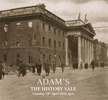
Set of Four Charts of the Irish Coast including South-east, North-east, North-west
and South-west
(i) “De Zuyd Oost zyde van Yerlandt Van Dubling tot aet t`Eylandt Corkbeg.”; (ii) “De
Noord-oost zyde van Yerlandt van Caap de Hoorn tot aen Hedehde en als mede
hoe t`van Schotlandt gelegen is.”; (iii) “De Noordwest zyde van Yerlandt Beginninde
van Capo de Hoorn tot aen Schynrs, ofte Slyne-head.”; (iv) “De west custen van
Yerlandt Beginninde van Corckbeg tot aen Slyne-hooft.” Set of four charts of the
Irish coast from the 1643 edition of De Lichtende Columne ofte Zee-Spiegel, English
edition. They have numbers 41-44 in the lower right corner and verso blank. 530
x 410.
Provenance: The Richard S.J. Clarke Collection
€600 - 800
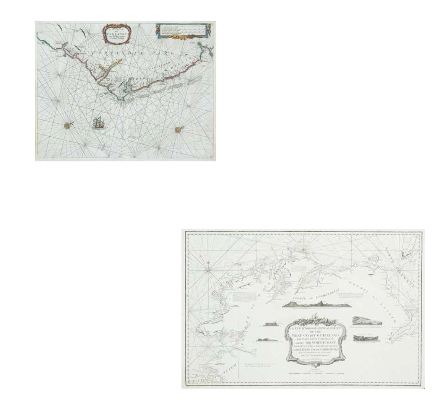
317A JOSEPH HUDDARTA Chart of the North Coast of Ireland
Laurie & Whittle (1794). 795 x 525
Provenance: The Richard S.J. Clarke Collection
€150 - 250