


 160 / 259

160
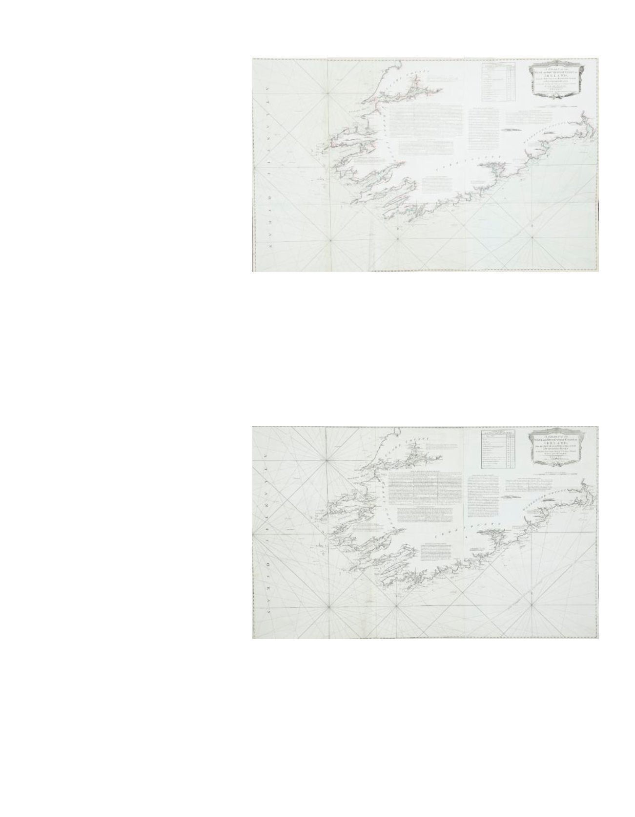
198 HUDDARTChart of the South-West Coast of Ireland
This chart was first published in 1780 by Sayer and Bennett on three sheets, and was included in their East India Pilot
of 1781. The title is in a classical rectangular frame in the top right corner and reads “A Chart of the West and South-
West Coast of Ireland from the Mouth of the River Shannon to Waterford Haven on the same Scale as the Chart of St.
George’s C hannel. By Capt. Jos. Huddart. London. Printed for R. Sayer and I. Bennett, Fleet Street, As the Act directs,
August 1st 1780”. Below this is an unframed “Scale of Nautic Leagues 20 to a Degree 8 [156 mm.]”. 1.270 x 785mm.
Provenance: The Richard S.J. Clarke Collection
€ 100 - 200
199 HUDDARTChart of the South-West Coast of Ireland
The title is in a classical rectangular frame in the top right corner and reads “A Chart of the West
and South-West Coast of Ireland from the Mouth of the River Shannon to Waterford Haven on
the same Scale as the Chart of St. George’s C hannel. By Capt. Jos. Huddart. London. Printed
for R. Sayer and I. Bennett, Fleet Street, As the Act directs, August 1st 1780”. 1,270 x 785 mm.
Provenance: The Richard S.J. Clarke Collection
€ 100 - 200